Unmanned Aerial Systems
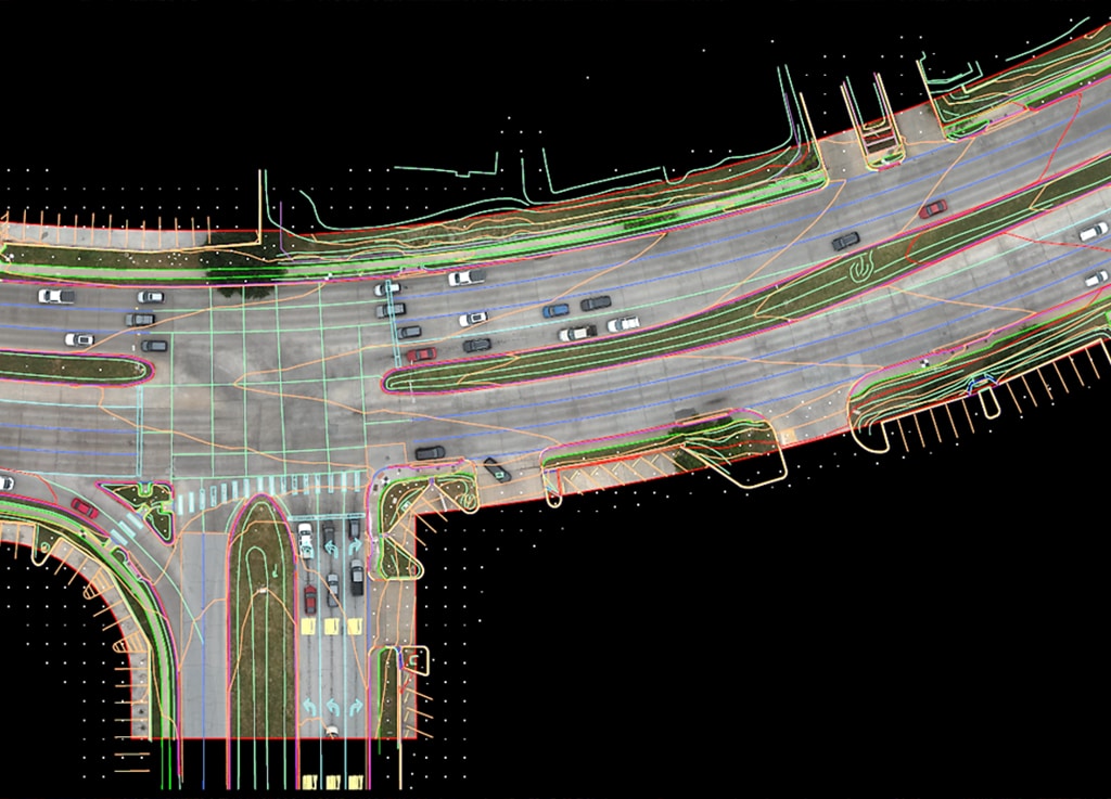
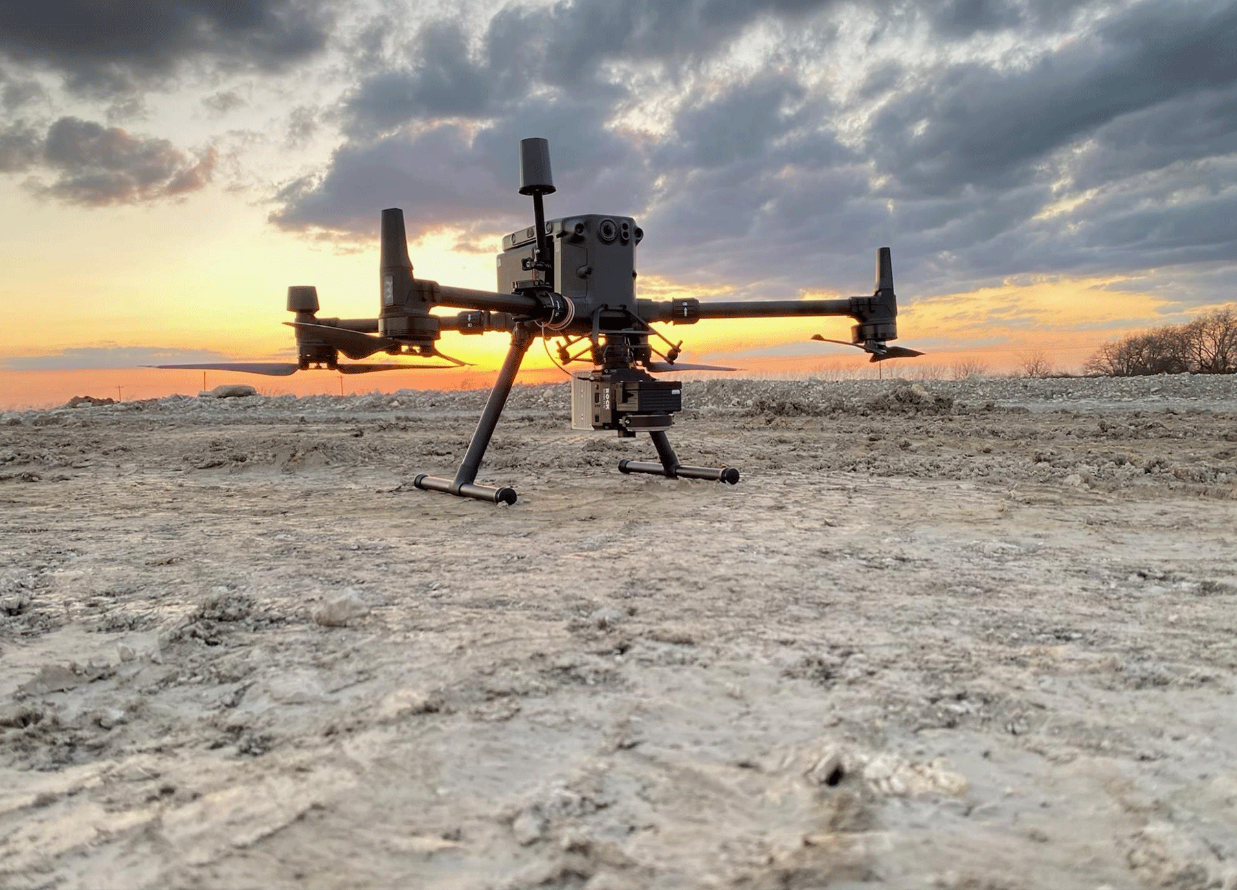
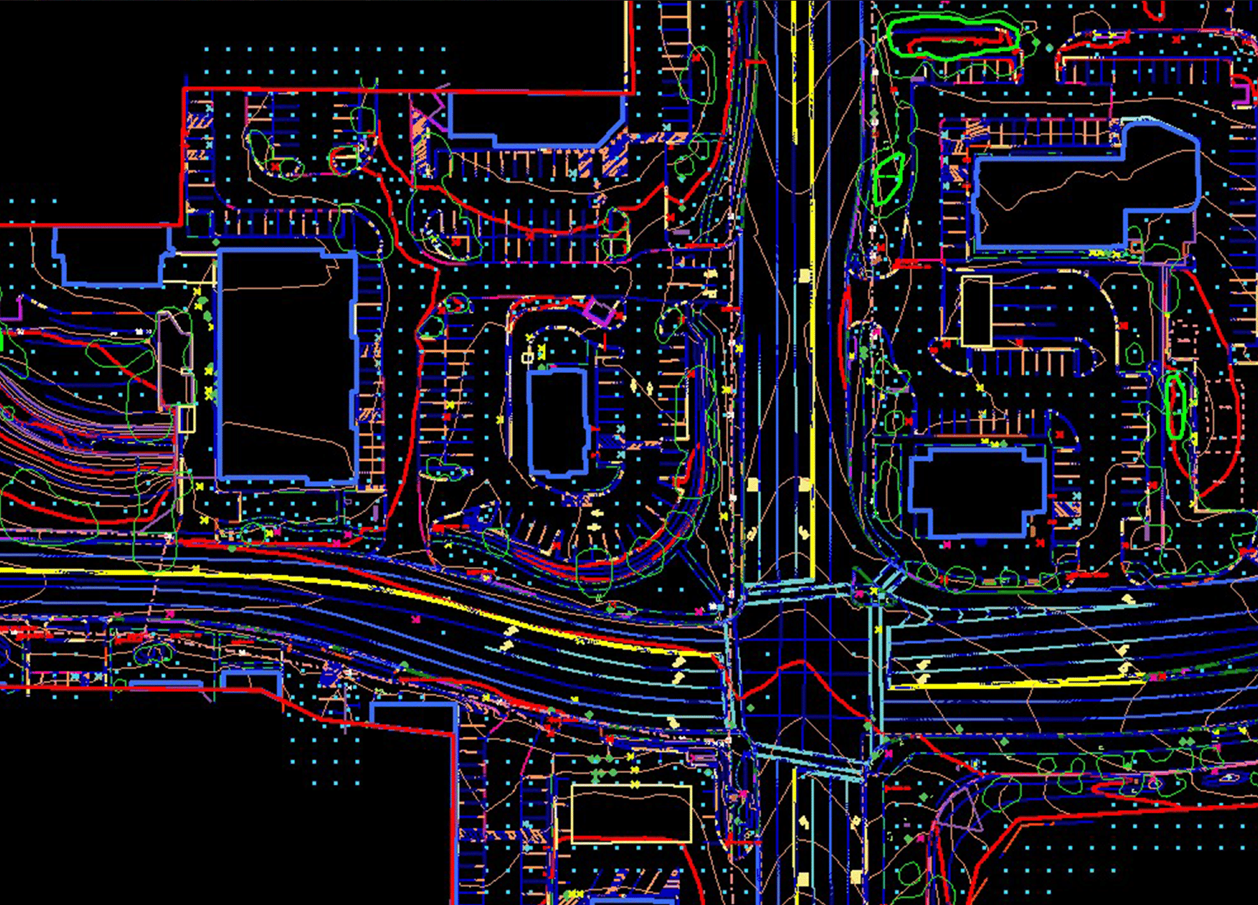
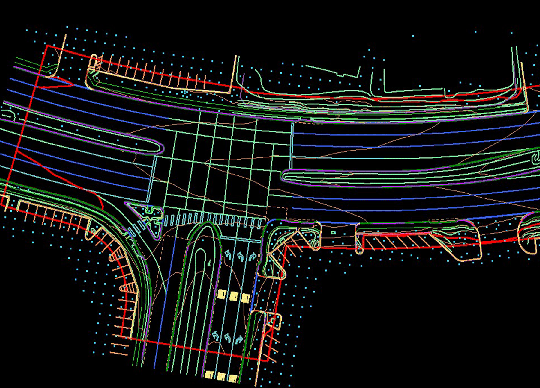
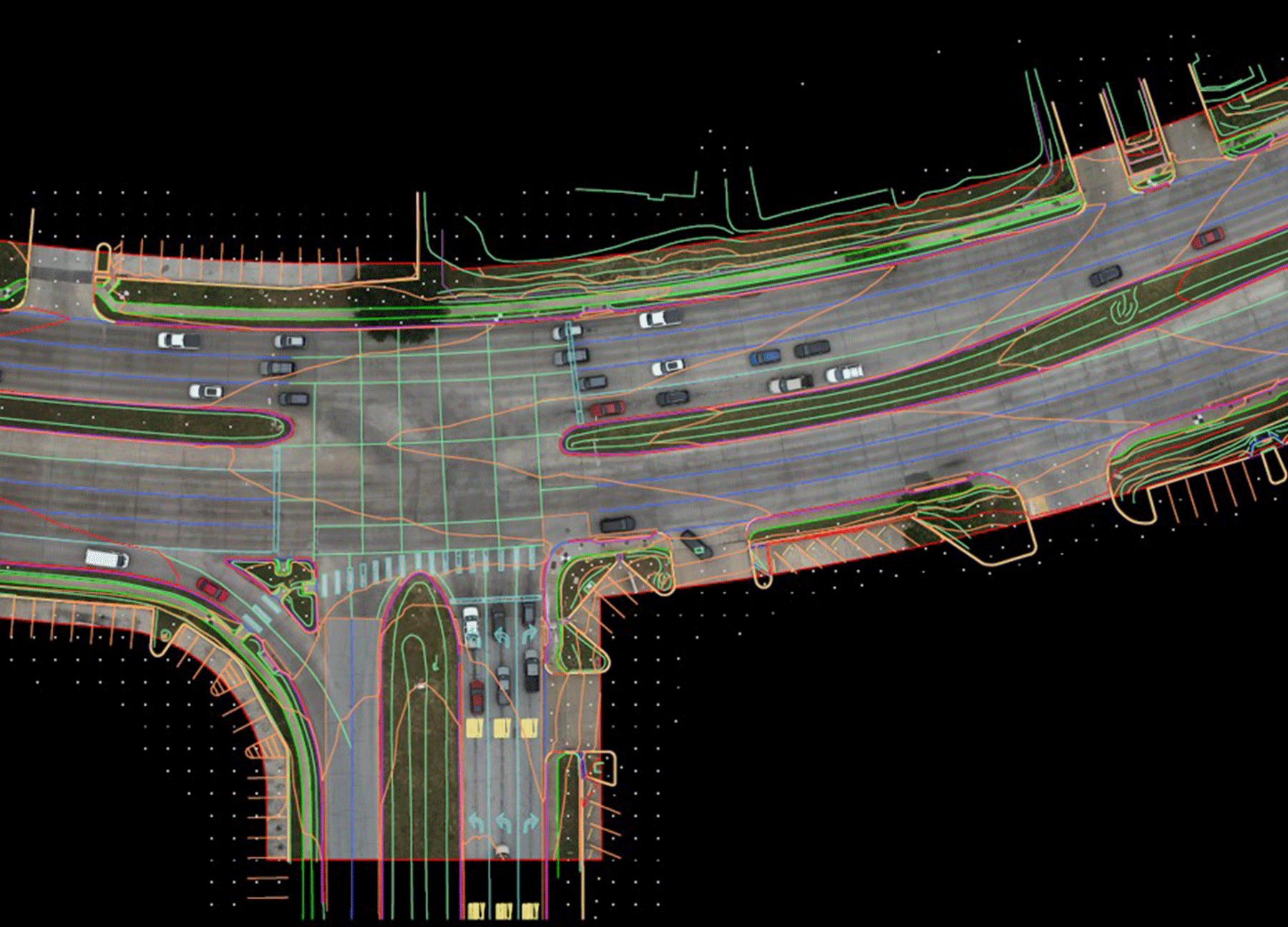
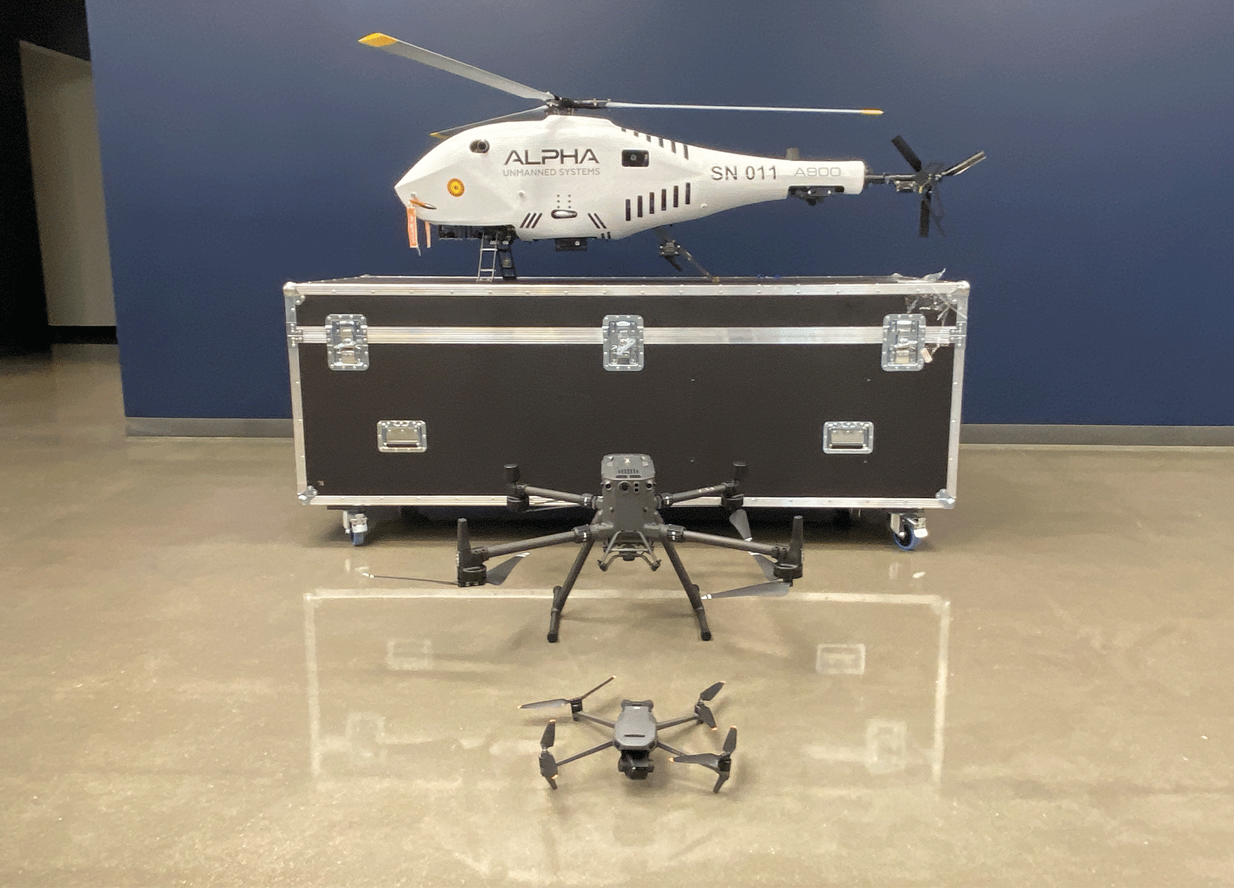
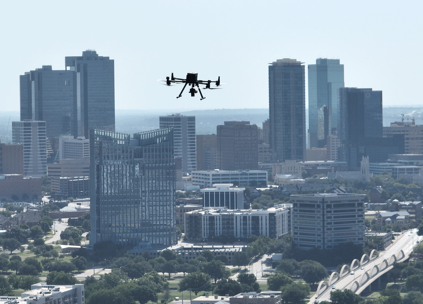
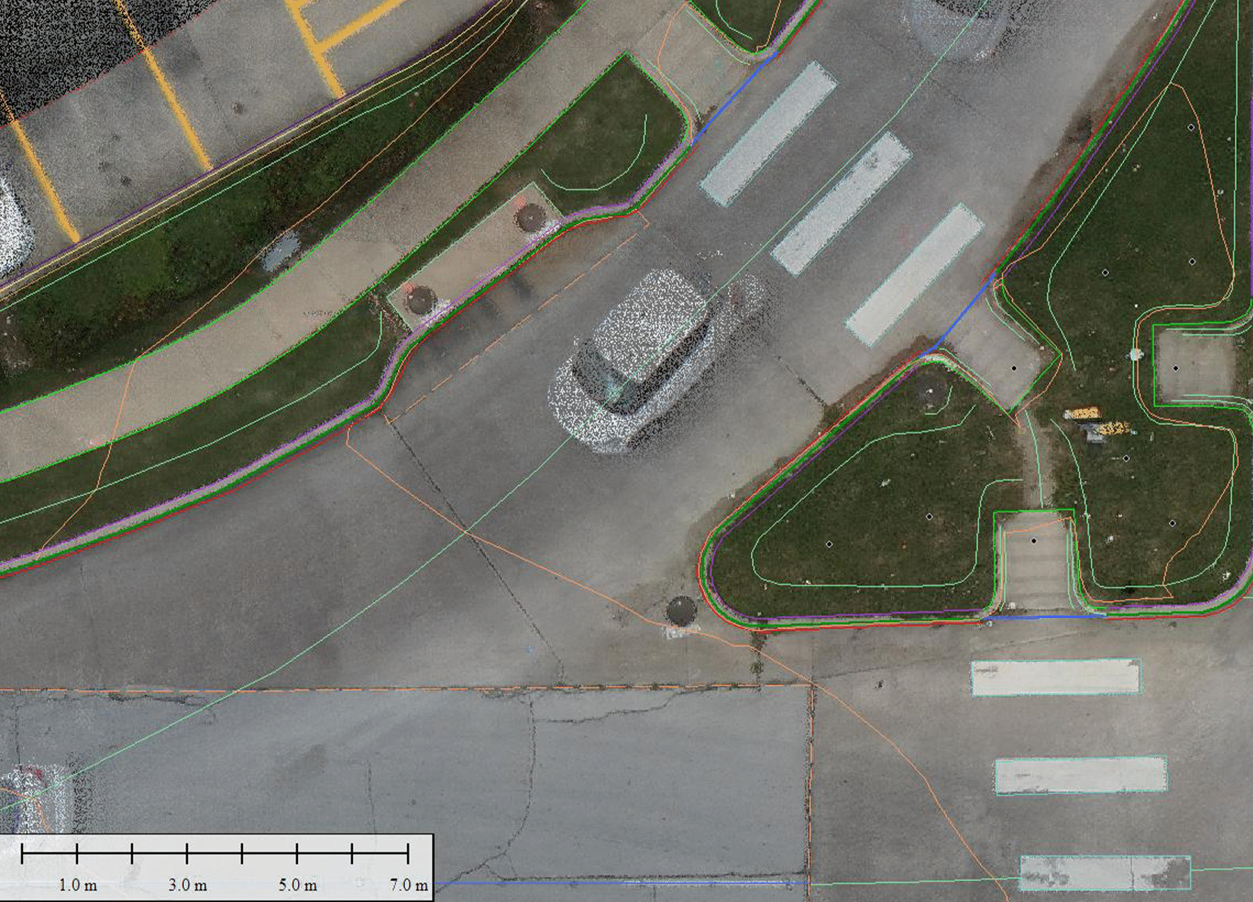
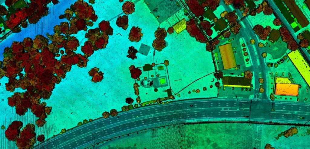
The aerial mapping division follows the same established workflow as used with conventional aerial mapping. The UAV is a great technology for smaller geographic areas, where traditional aerial mapping could be cost prohibitive. The UAV can provide TxDOT with high resolution orthoimagery (1.2cm pixel resolution) and is well-suited to flying projects on a repeating basis (weekly, monthly) for planning, change detection, and project management. G&AI’s UAVs use medium format digital metric cameras for photogrammetry and state-of-the-art airborne LiDAR sensors for aerial LiDAR data collection with similar accuracies seen with manned flights. The G&AI fleet of UAV systems includes Alpha Unmanned Systems A-900 helicopter platform (heavy lift drone), multiple DJI M-300 multi-rotor systems, and a Harris Aerial – Carrier H6 Hybrid EFI (heavy lift drone). As with conventional aerial mapping projects, all photogrammetry projects will be overseen by an American Society of Photogrammetry and Remote Sensing (ASPRS) Certified Photogrammetrist and all aerial LiDAR projects will be over seen by an ASPRS Certified Mapping Scientist in LiDAR.

UAS - Aerial Photography
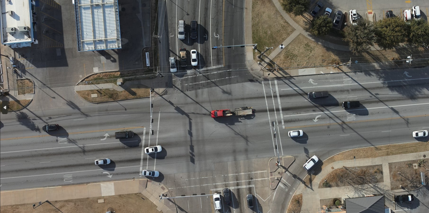
G&AI utilizes a Phase-One iXU 50 MP metric, medium format digital camera. This camera is metric and is capable of producing 1.2cm pixel resolution color digital imagery, suitable the photogrammetric mapping. The Phase-One camera receives an on-board GPS signal feed, during flight, to increase the accuracy of the photogrammetric solution. From processed imagery, the G&AI Aerial Mapping Division can produce 1” =50’ scale digital orthoimagery and aerial mapping that meets the ASPRS Class I map accuracy specifications with all UAS camera sensors.

UAS - Aerial LIDAR

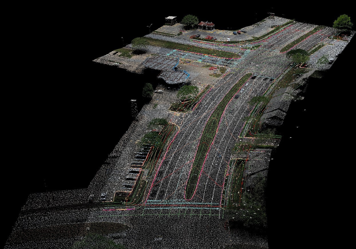
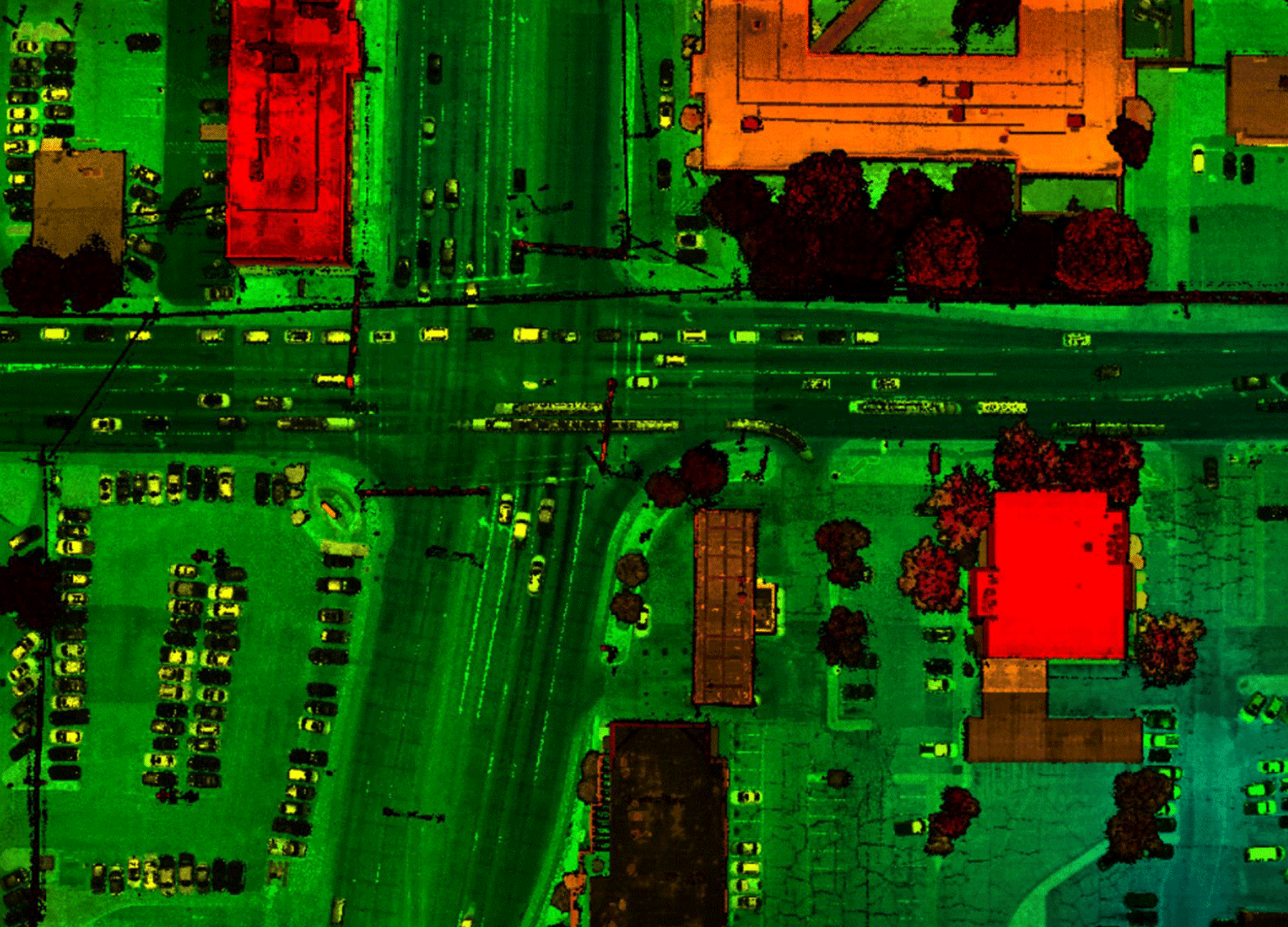
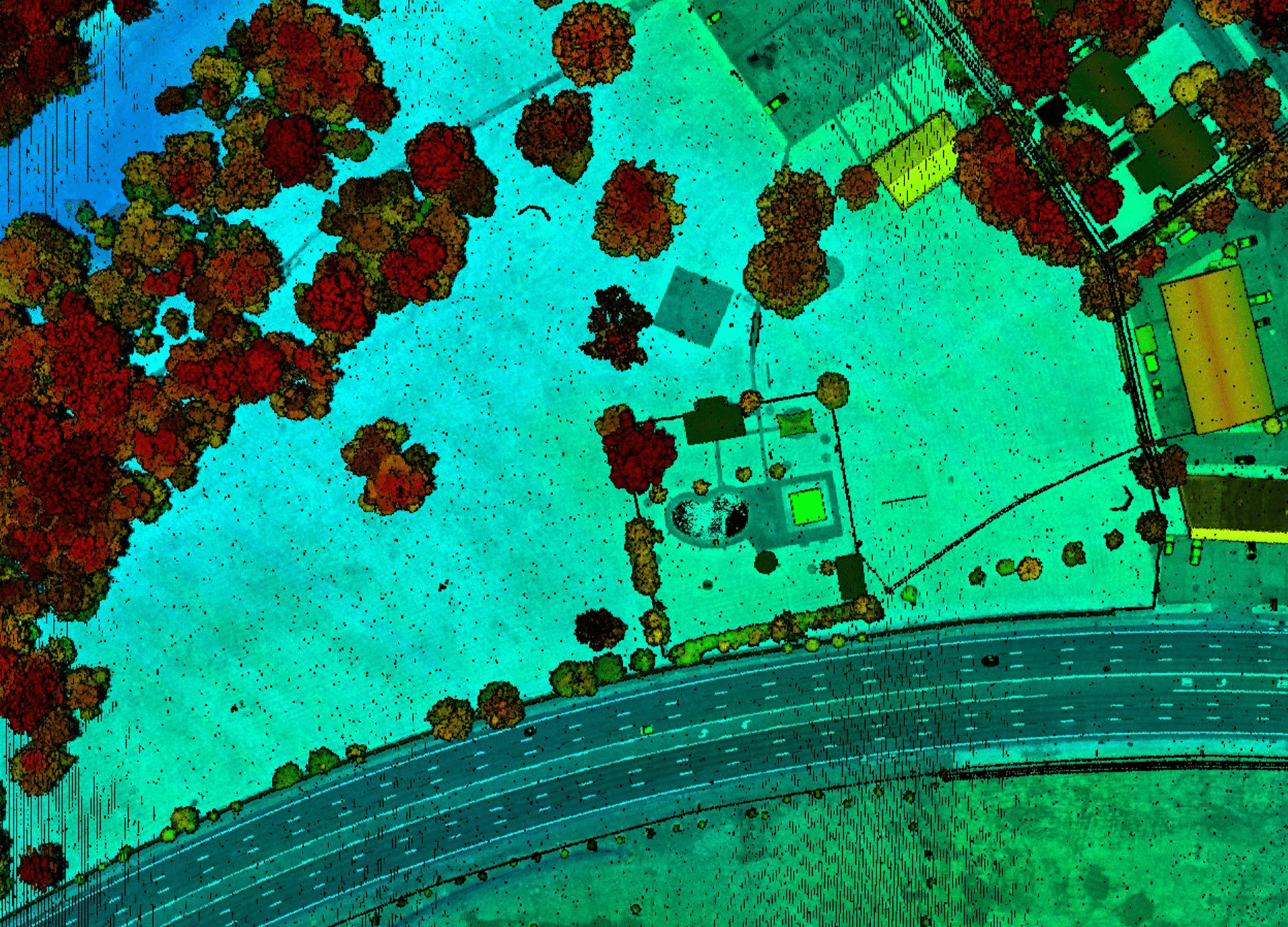
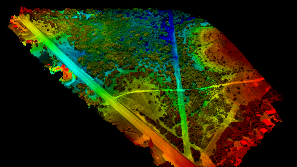
G&AI uses a Reigl Mini-VUX-1UAV LiDAR sensor and Rock Robotics R2A UAS LiDAR sensors. The sensors can produce hundreds of points per square meter on a single pass. The LiDAR systems also have integrated digital cameras to produce georeferenced imagery to colorize the LiDAR point cloud. G&AI’s aerial UAS LiDAR sensors have an absolute accuracy of +/- 0.15-ft. vertical RMSE on hard surfaces and 0.30-ft. vertical RMSE on soft surfaces.

UAS - Forward Looking InfraRed (FLIR)
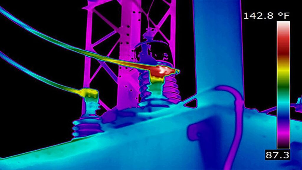
G&AI also has a FLIR thermal system. The Duo Pro-R 336 by 256mm FLIR system produces real-time thermal imaging and color video for inspections. This system can be flown in conjunction with aerial photography or aerial LiDAR missions.

UAS - Forward Looking InfraRed (FLIR)
G&AI also has a FLIR thermal system. The Duo Pro-R 336 by 256mm FLIR system produces real-time thermal imaging and color video for inspections. This system can be flown in conjunction with aerial photography or aerial LiDAR missions.

Airborne LiDAR (LiDAR from UAVs or Drones)

Another type of mobile LiDAR is airborne LiDAR, which operates in a manner that is technically distinct from typical mobile LiDAR. Unmanned aerial vehicles (also known as drones) are equipped with LiDAR sensors in this configuration so that they may collect 3D data from the air. Large-scale mapping, forest inventorying, coastal monitoring, and disaster assessment are typical applications for airborne LiDAR technology.


Our team is happy to answer your questions. Contact us and we’ll be in touch as soon as possible.

Scroll to Top