![]()
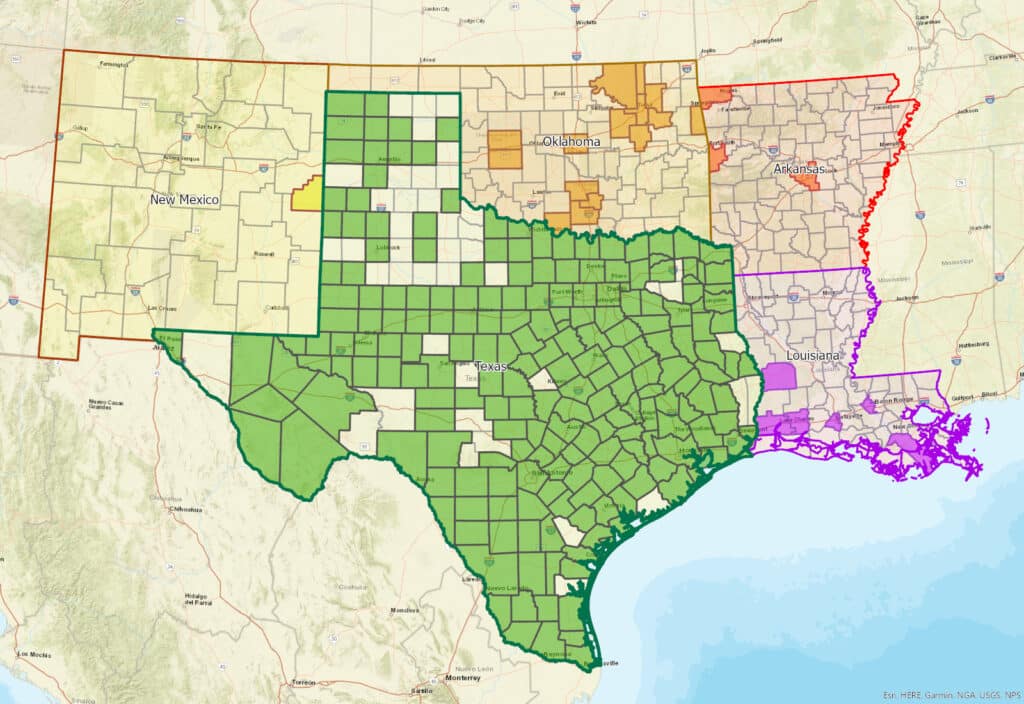
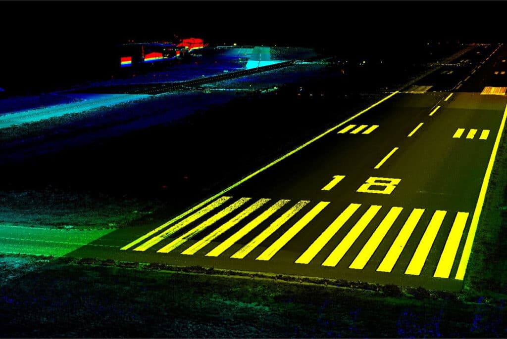
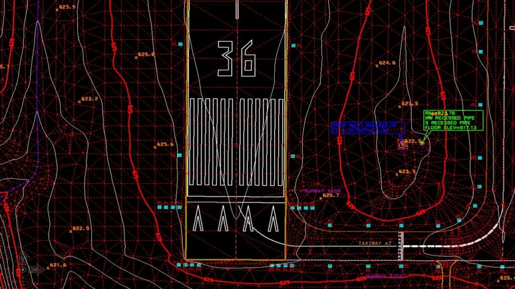
G&AI possesses a profound understanding of the unique dynamics within government markets. We have successfully provided survey services to federal, state, city, and county entities, gaining invaluable experience in meeting their specific needs. G&AI has conducted thousands of engineering design surveys, encompassing municipal projects, airports, street rehabilitation, proposed roadways, sanitary sewer rehabilitation, water rehabilitation, water and sewer transmission lines, gas pipelines, electrical transmission lines, and development projects. Furthermore, G&AI has executed surveys covering over 1,000,000 acres for boundary surveys, right-of-way acquisition, and platting services across 86 counties in Texas.
Our team is happy to answer your questions. Contact us and we’ll be in touch as soon as possible.
Meet Brad J. Gorrondona, RPLS, the founding principal of Gorrondona & Associates, Inc. (G&AI), with over 38 years of experience in professional land surveying. As the President and CEO of the company, Brad leads the overall management of the firm and guides its business development and quality control efforts. Since establishing the company, Brad has played a pivotal role in its success. His deep roots in the Fort Worth area, where he has resided since 1983, have allowed him to actively engage with both personal and professional communities. Brad’s dedication extends beyond his role at G&AI, as he actively participates in community initiatives and supports educational endeavors. With a wealth of experience and a strong commitment to excellence, Brad embodies the values and vision of Gorrondona & Associates, Inc. His leadership has propelled the company to new heights, establishing it as a trusted name in the field of professional land surveying.