Mobile LiDAR
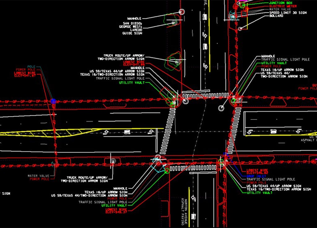
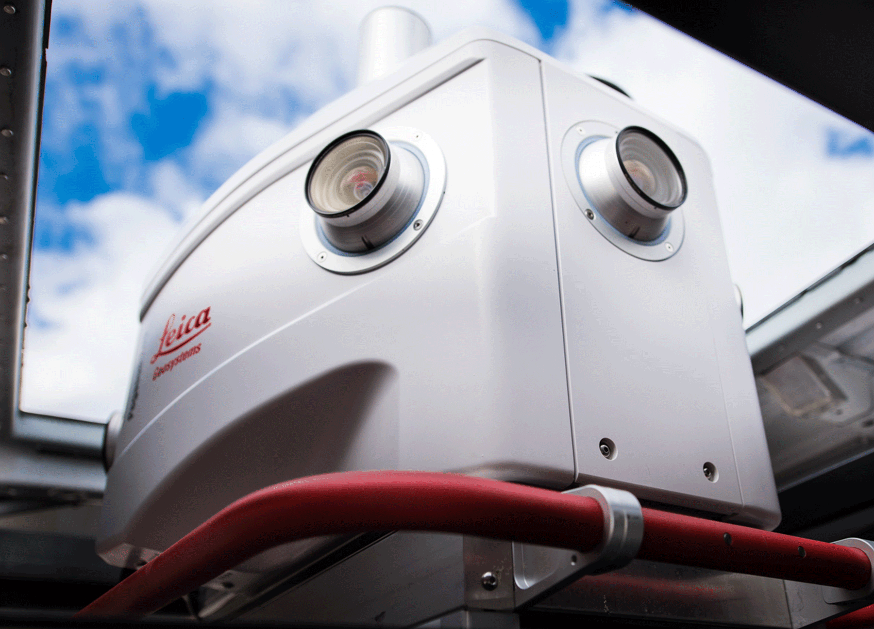
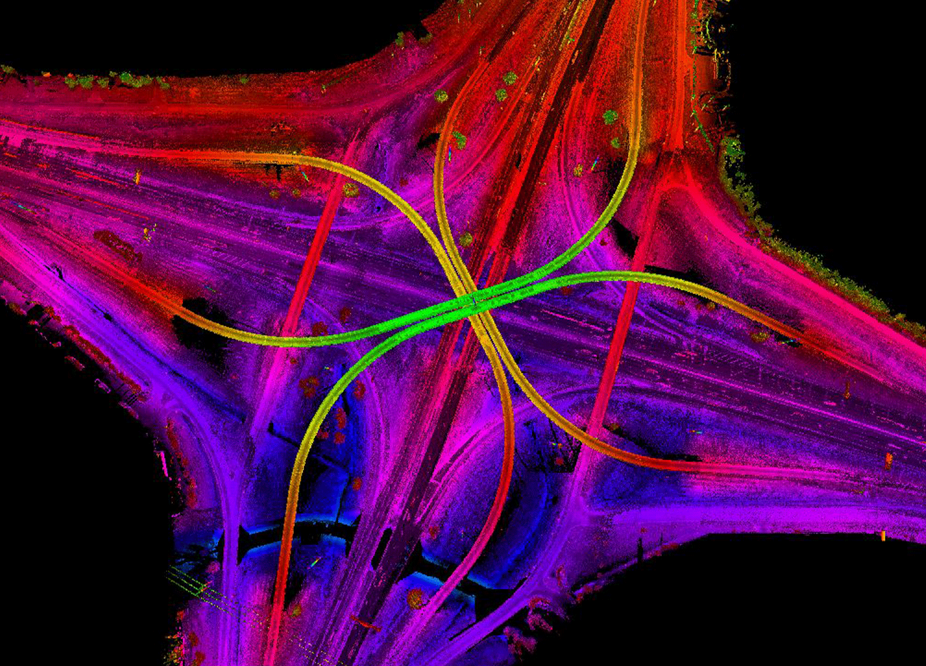
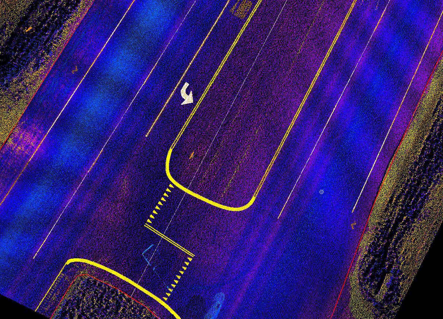
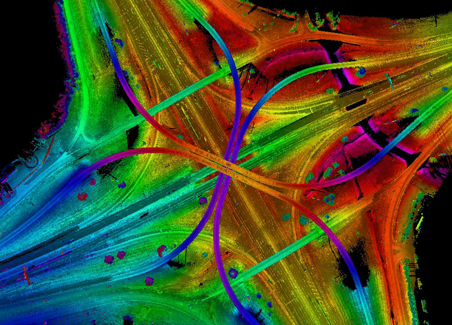

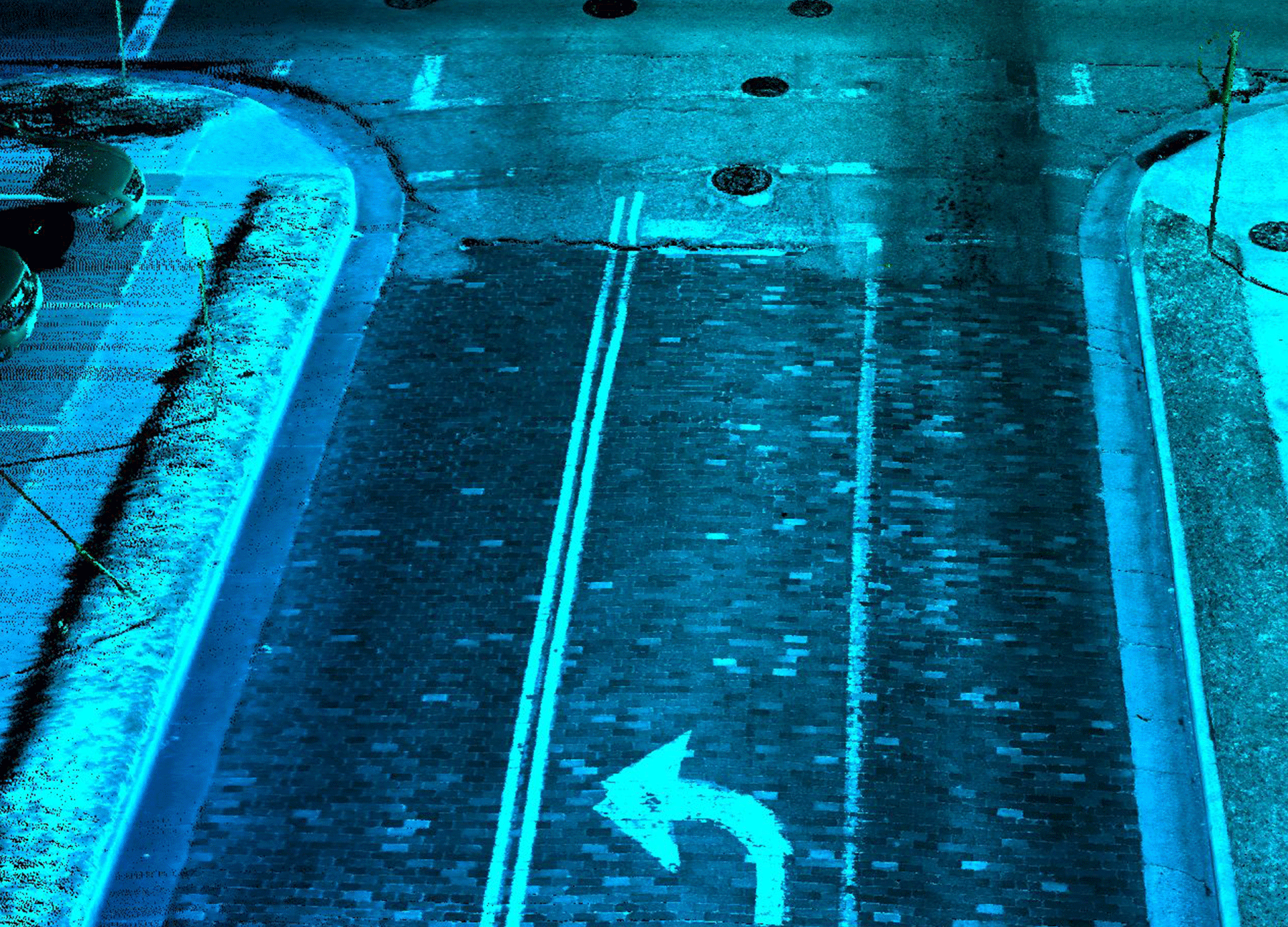
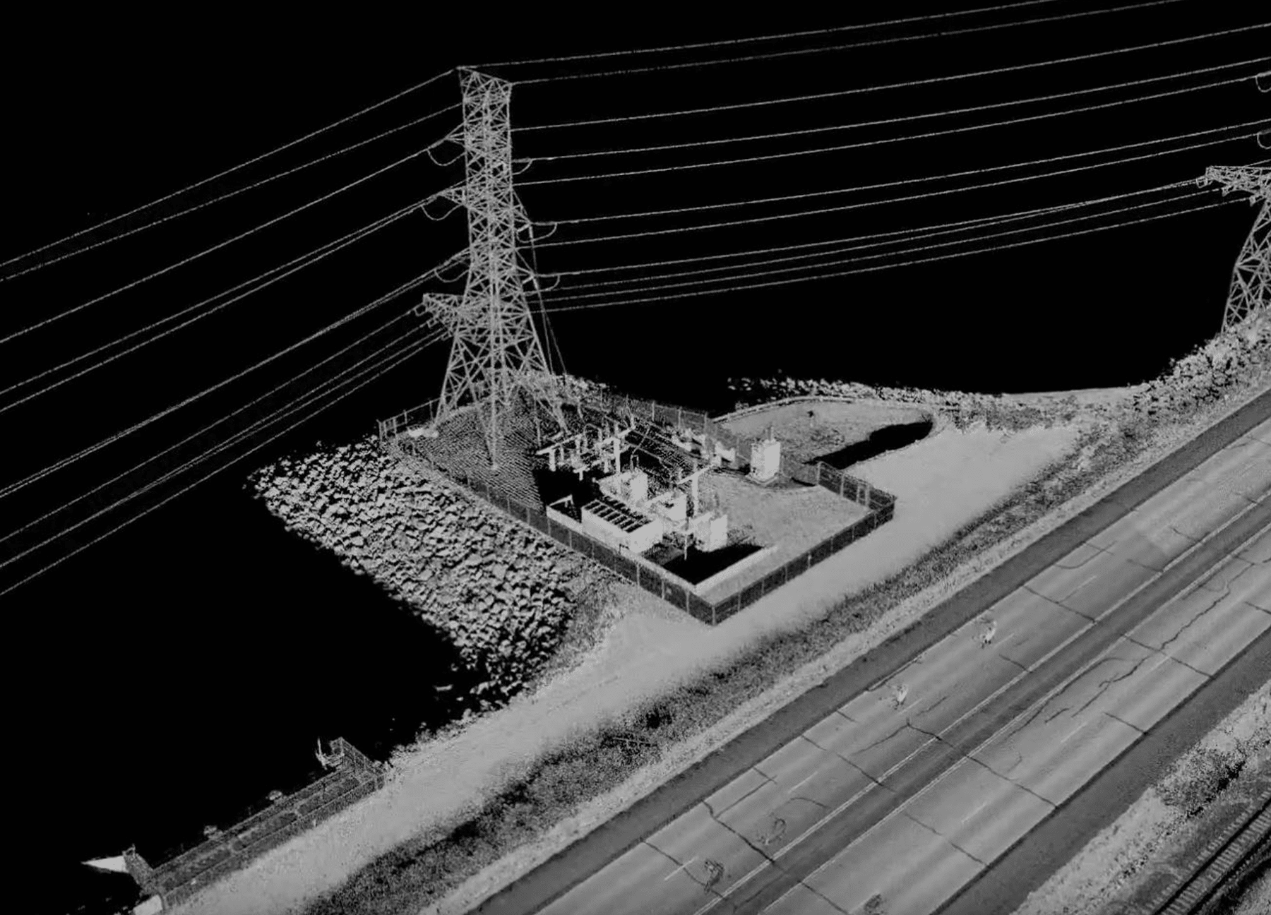
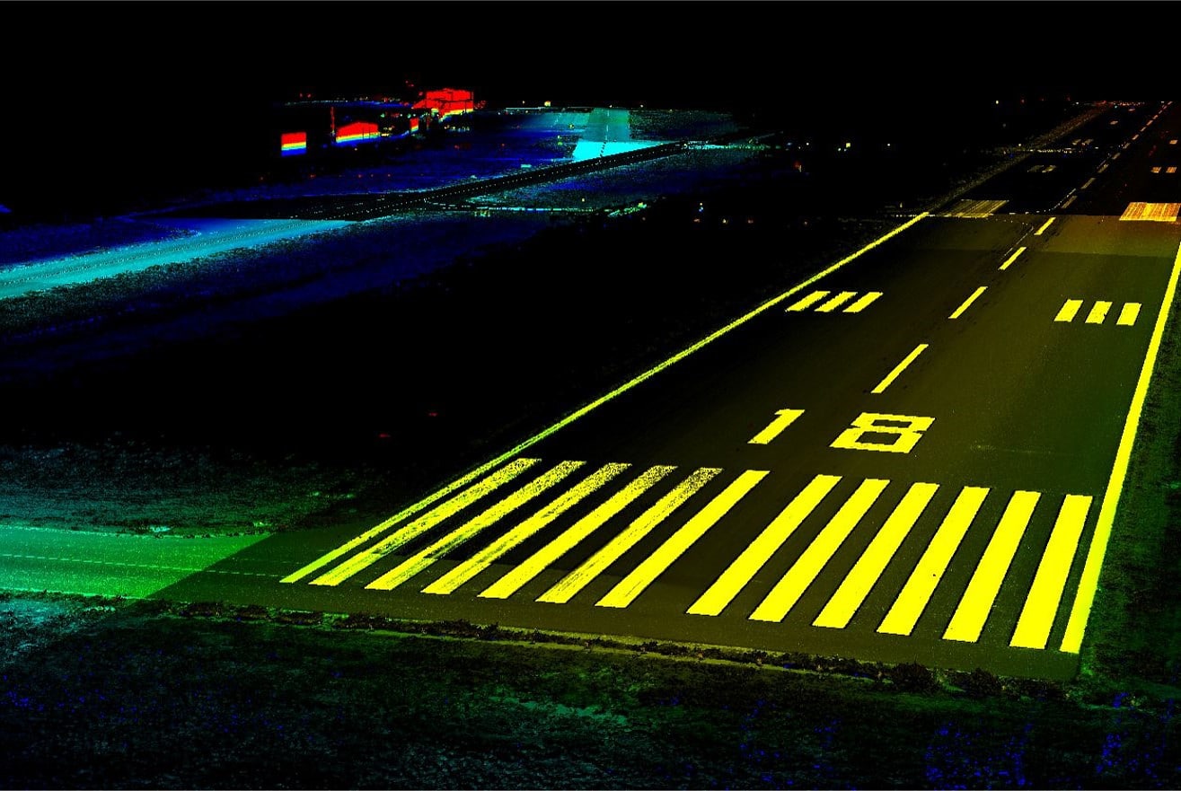
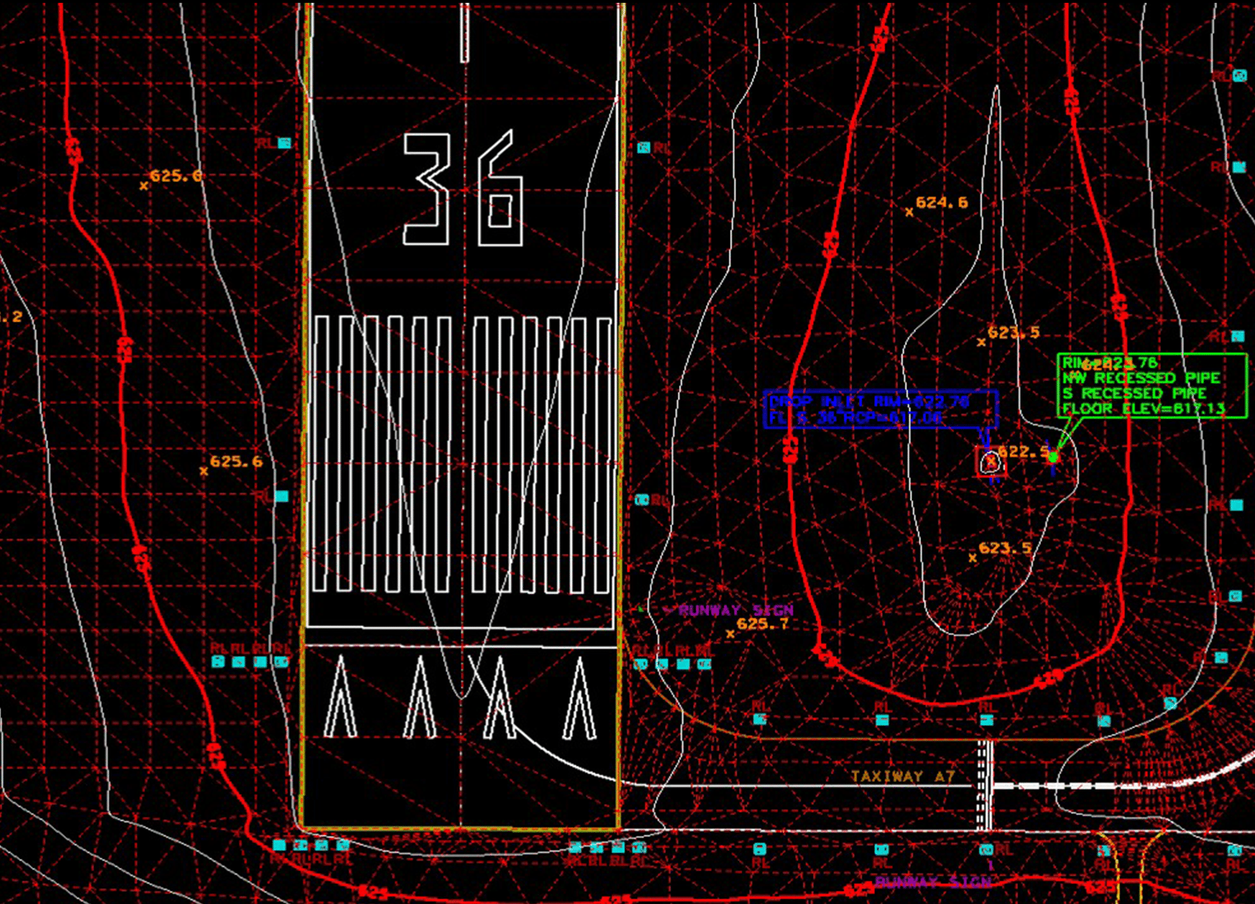
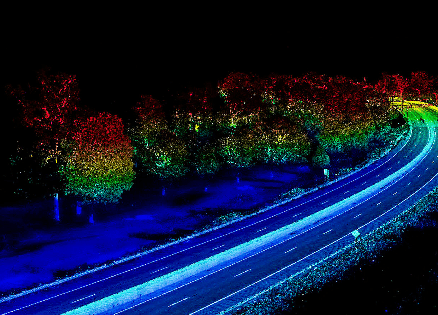
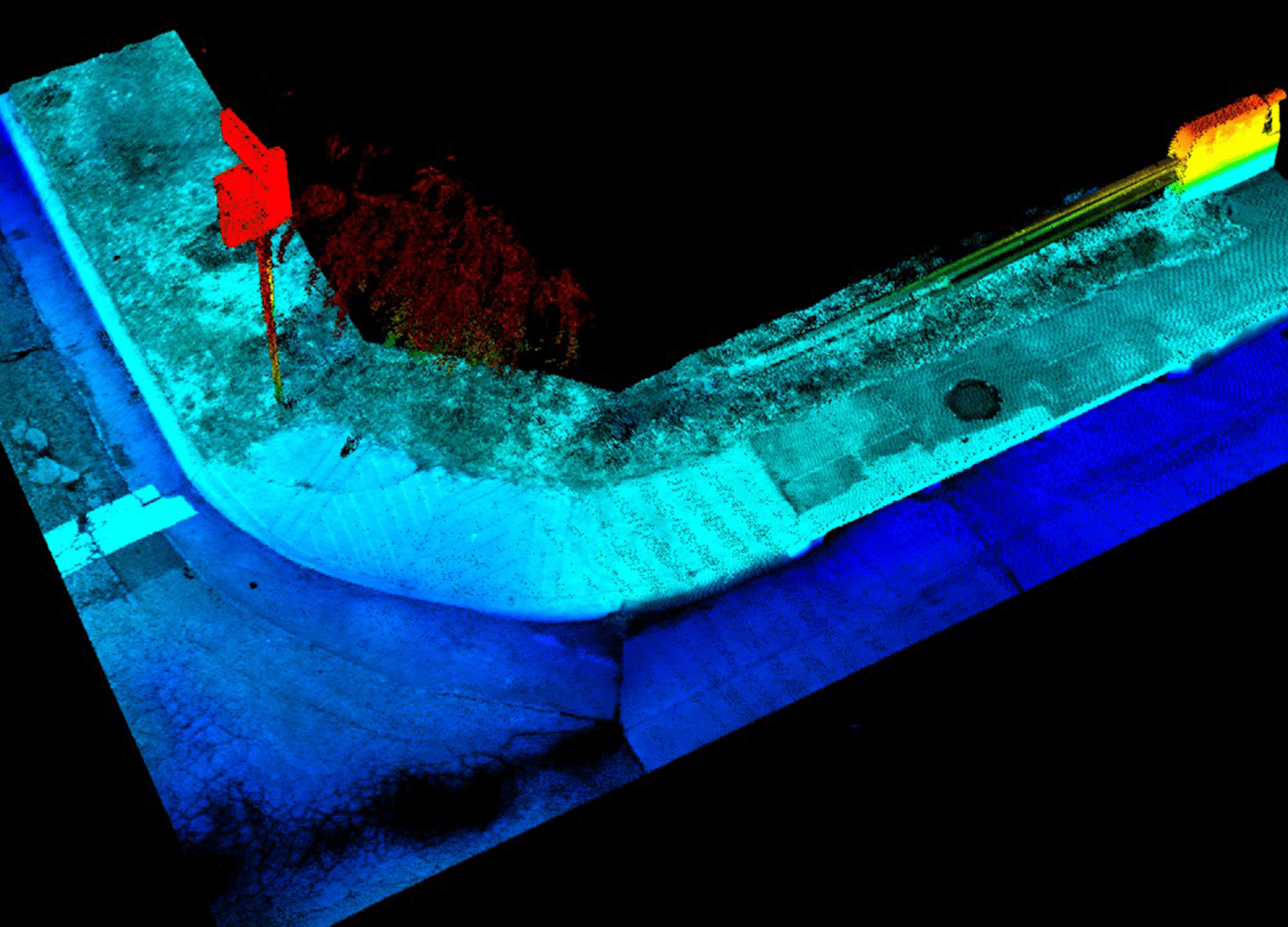
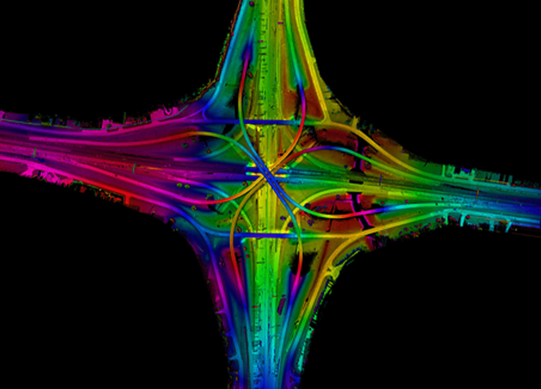
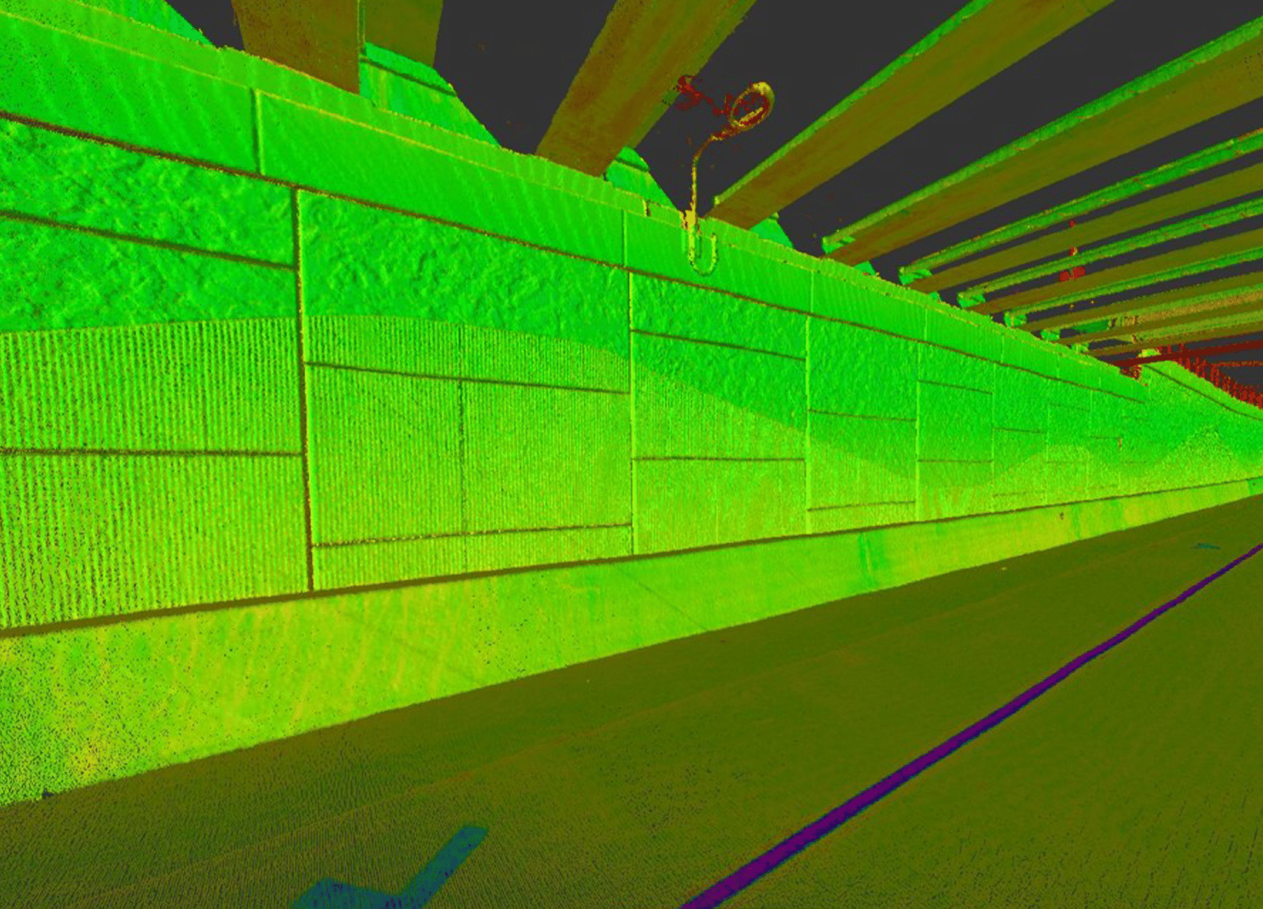
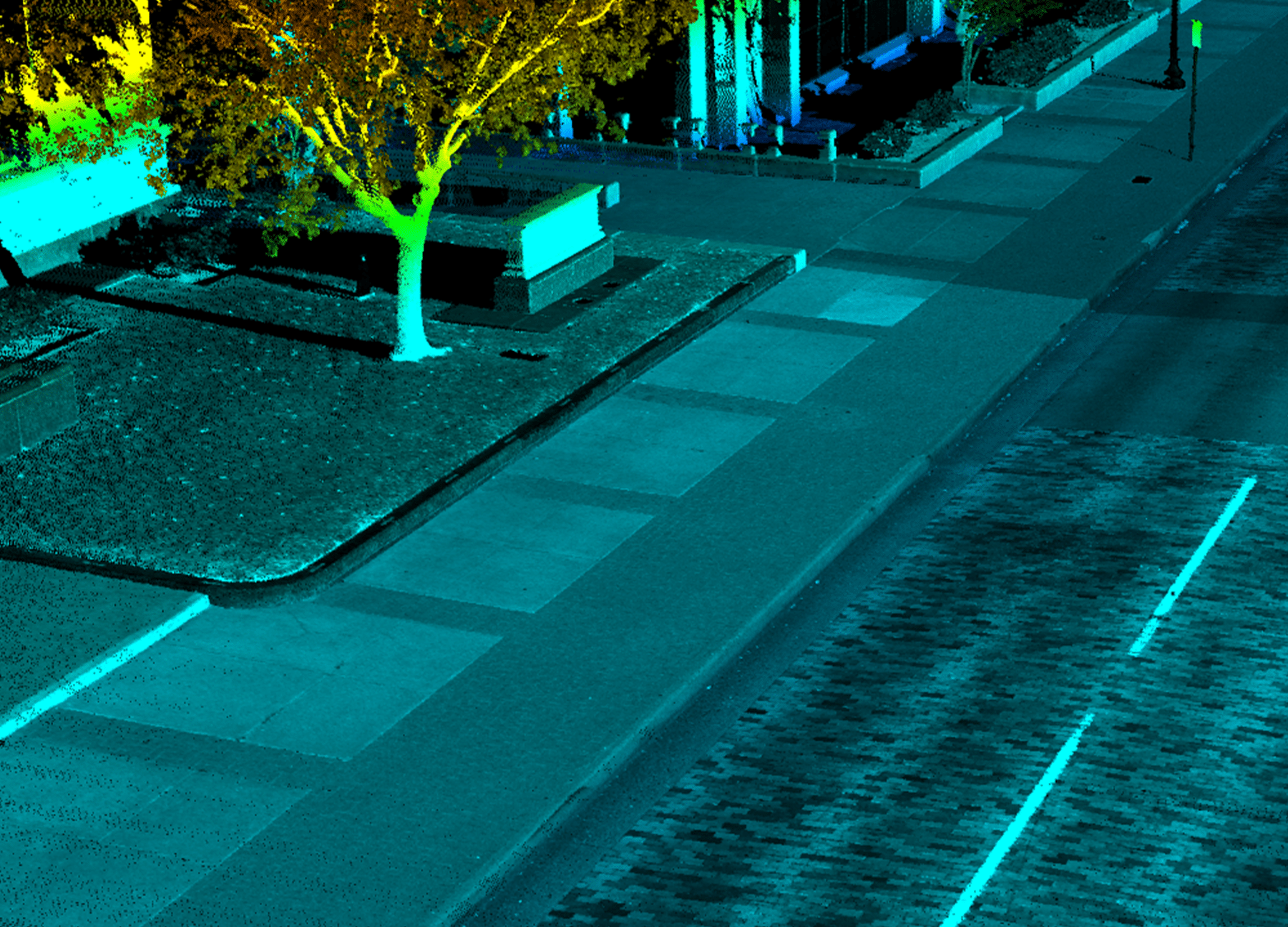
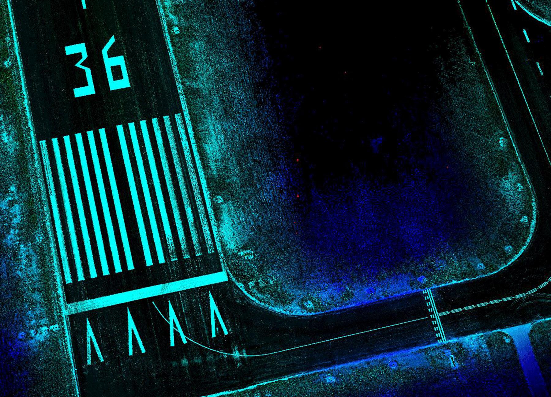
G&AI has performed mobile LiDAR on hundreds of projects across the state. G&AI utilizes the Leica Pegasus: Two mobile LiDAR mapping system. The system is the most advanced design-grade mapping collection system on the market and incorporates a state-of-the-art LiDAR sensor, eight high-definition cameras, and precision positional/navigational equipment to collect rich data at highway speeds. The system is capable of collecting up to 4,000 points per square meter with 1.5cm vertical and 2.0cm horizontal positional accuracies. This point density is close to photography allowing LiDAR technicians to extract highly detailed planimetric and terrain features. The accuracy and efficiency of this system make it a cost-effective tool in providing a complete inventory of assets. All assets and associated attributes can be placed in a predetermined geodatabase schema for the client. G&AI is currently completing an asset inventory for the City of Tulsa, Oklahoma, consisting of 2,300 miles of roadway with approximately 200,000 assets extracted from mobile LiDAR data
Vehicle-Mounted Mobile LiDAR
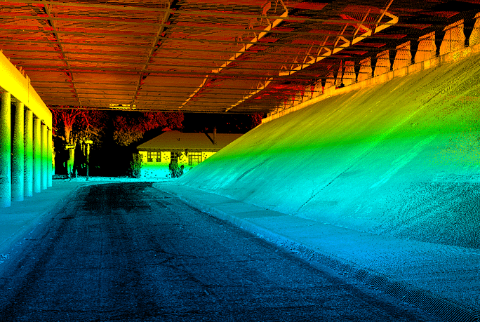

Vehicle-Mounted Mobile LiDAR
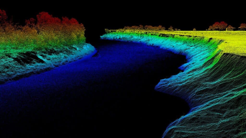
Boat-Mounted Mobile LiDAR

Boat-Mounted Mobile LiDAR
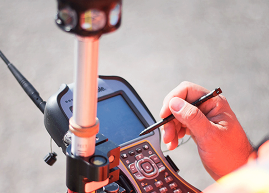
Handheld Mobile LiDAR
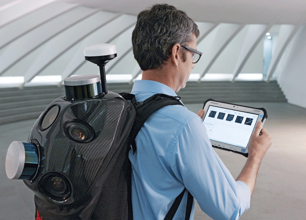
Backpack Mobile LiDAR
get in touch
We're Here to Help!
Our team is happy to answer your questions. Contact us and we’ll be in touch as soon as possible.

