Geographic Information Systems
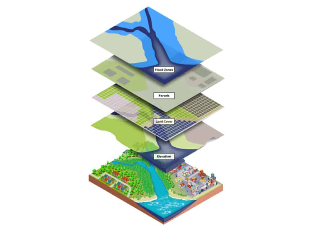

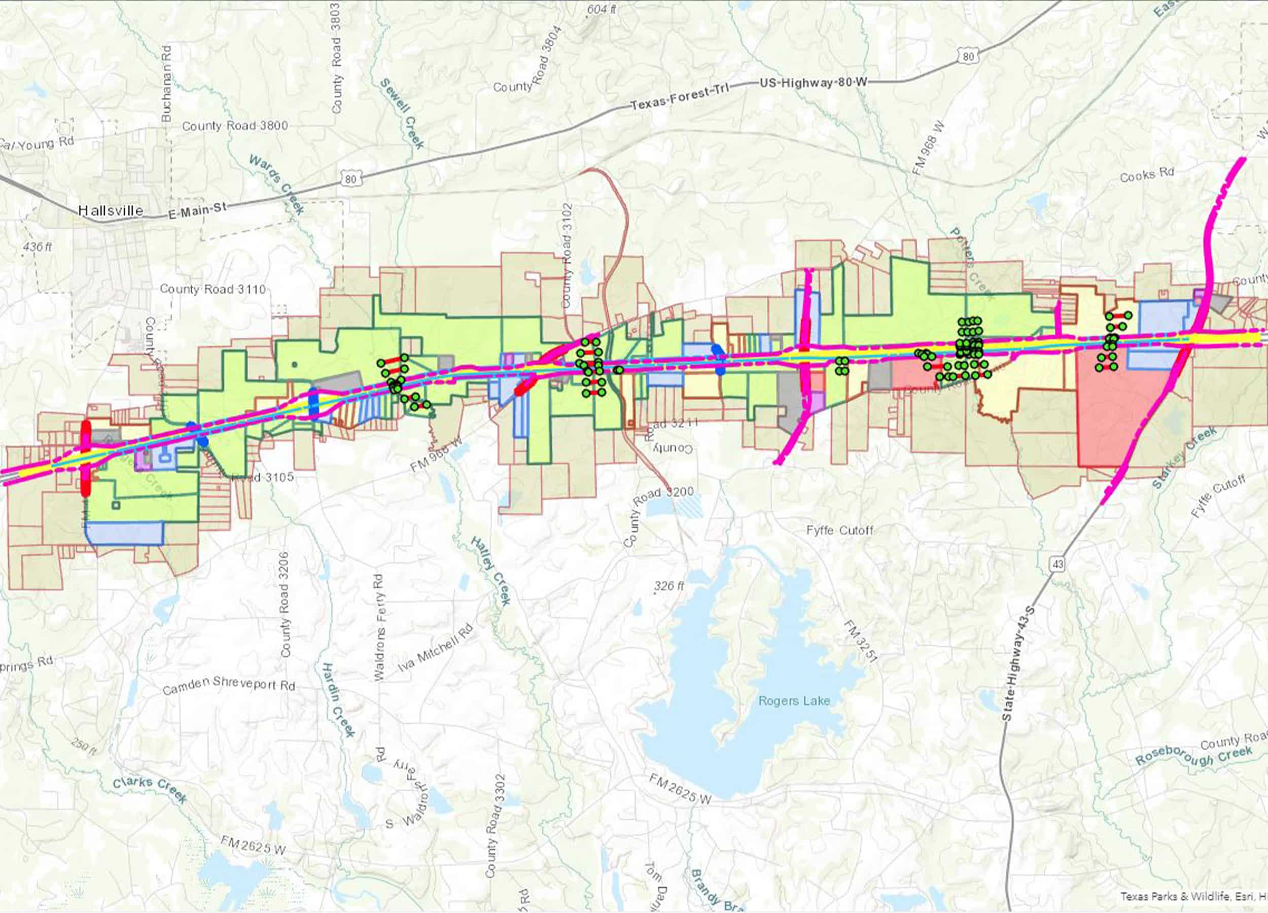
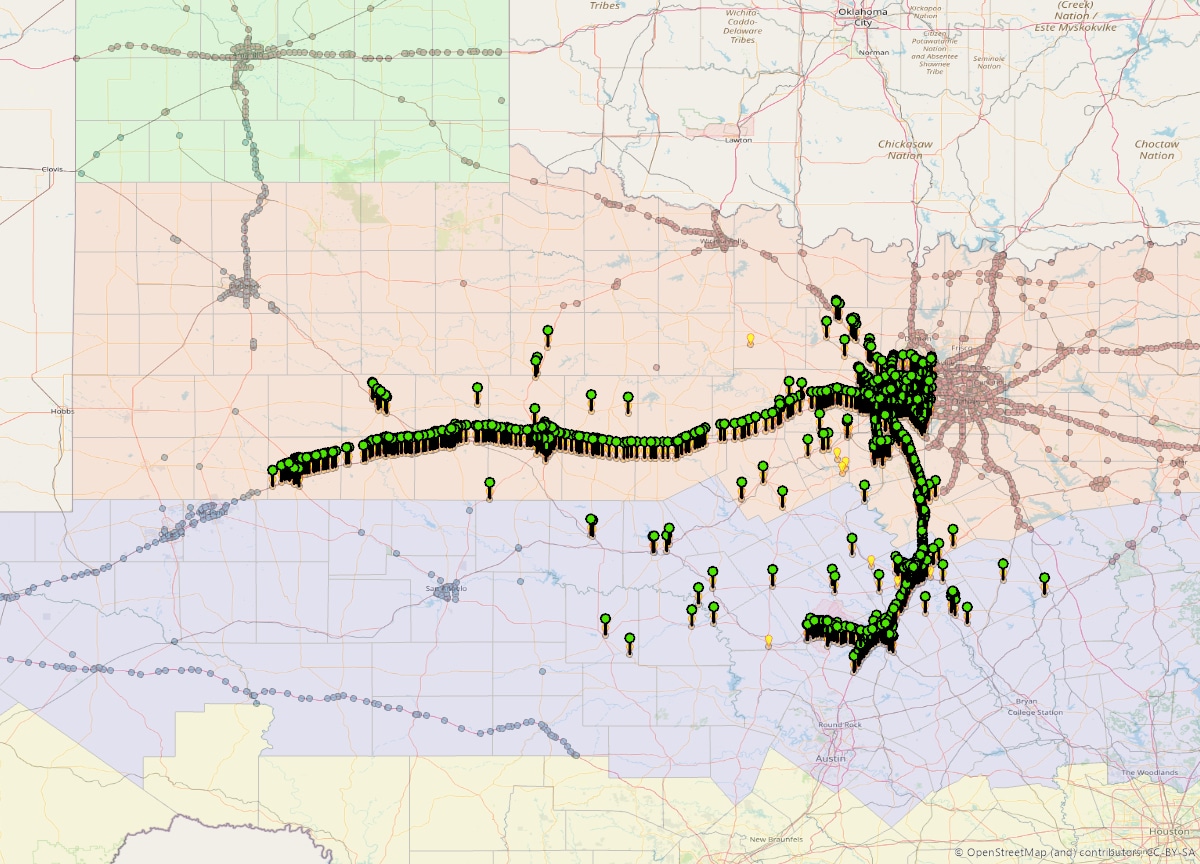
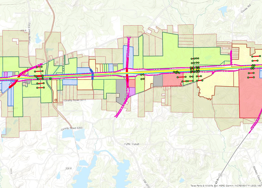
G&AI understands that GIS is not just a deliverable, it is a valuable technology and management tool that will be used throughout the entire project. G&AI’s personnel includes a total of three dedicated GIS staff members, including a certified Geographic Information Systems Professional (GISP). G&AI routinely produces data for inclusion in County, City, and Utility Company’s Geographic Information Systems. G&AI has the capability to create ESRI compatible shape files. Geo-referenced polygons representing tracts of land can be produced with the appropriate metadata and object data that includes information about acreage, ownership, recording information, or any other required data. G&AI utilizes its own internal GIS to warehouse information such as county appraisal district parcel information, past projects, GPS control, ortho-rectified imagery, and any other published GIS information available over the Internet.
Mobile GIS
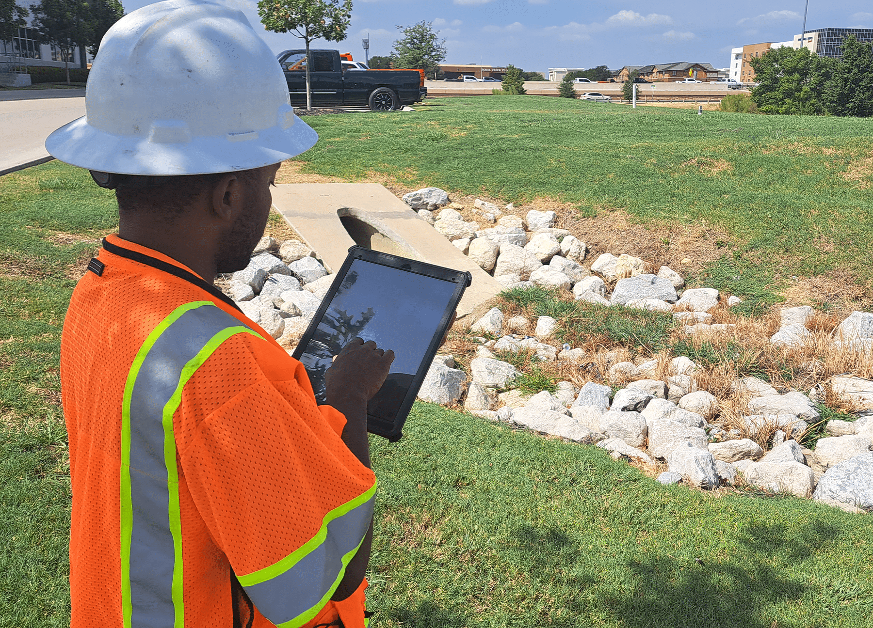
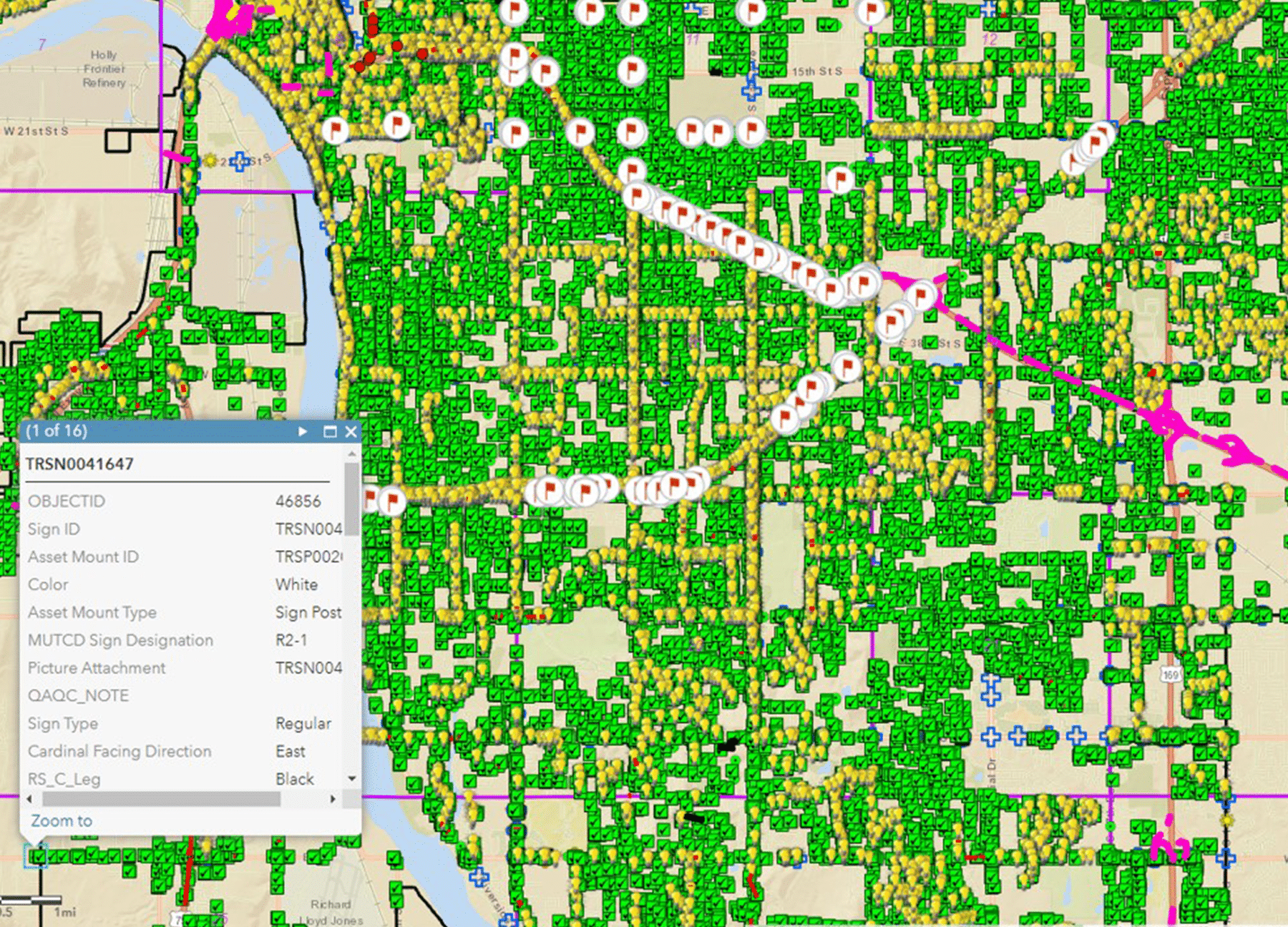
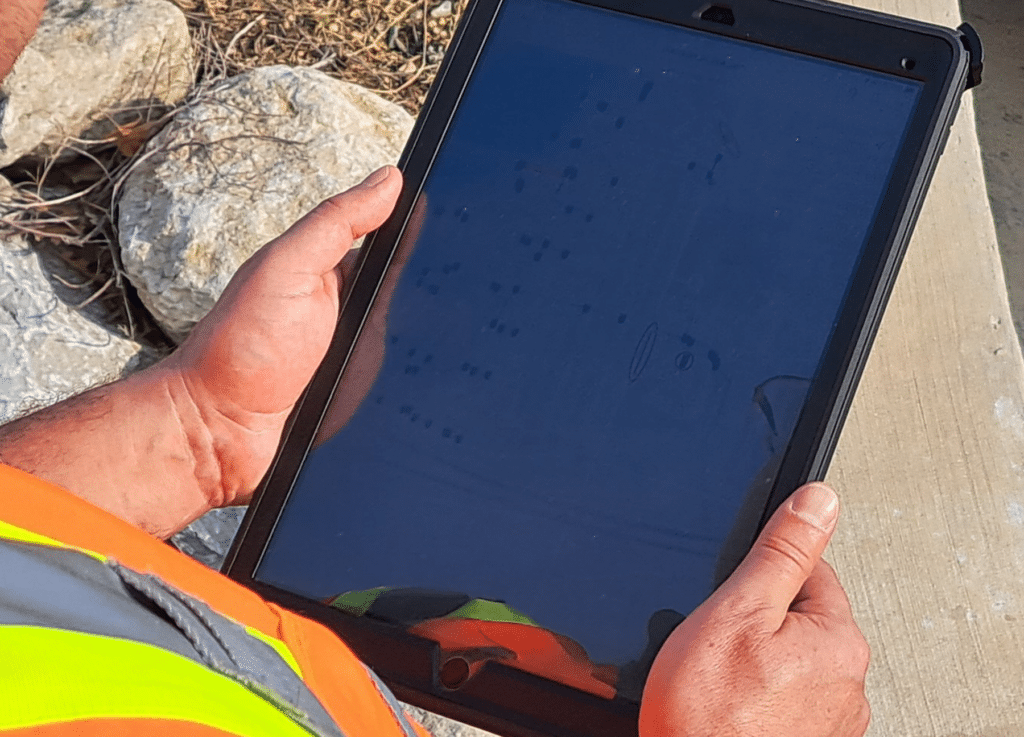
Mobile GIS leverages smartphones, tablets, and other mobile devices in addition to our Survey grade Trimble equipment to collect and analyze spatial data in the field. Field workers can use these devices to capture GPS coordinates, take photographs, and input and update attribute data directly into the GIS database. Mobile GIS is widely used in industry to make utility and asset management, environmental monitoring, and emergency response coordination more efficient.
Cloud GIS
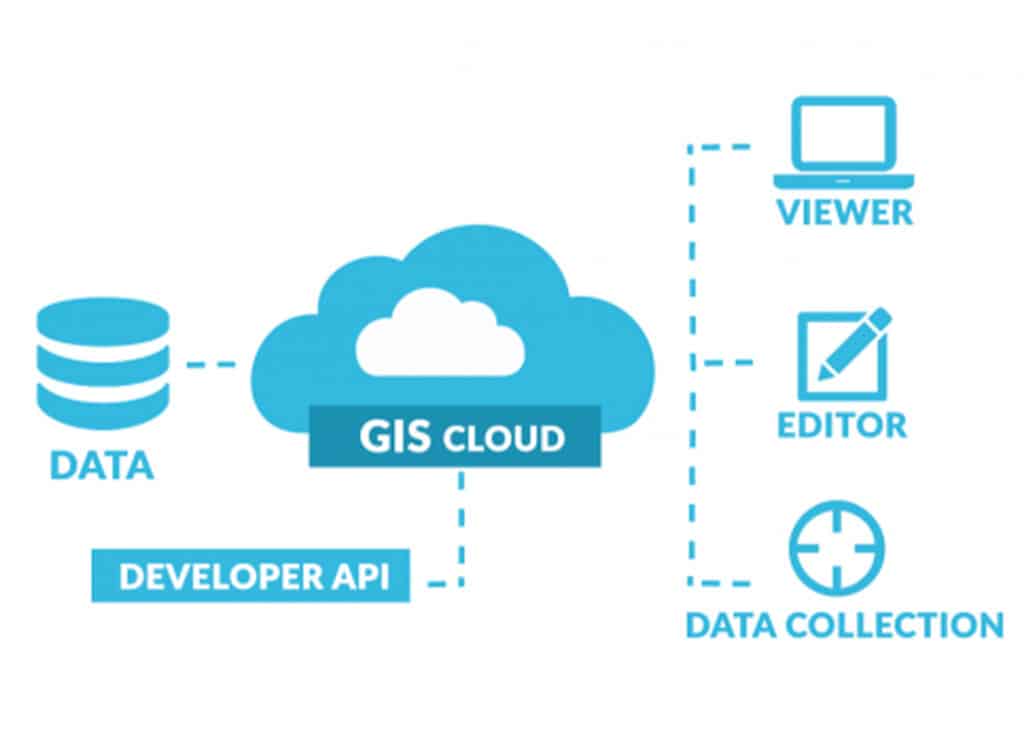
Cloud GIS utilizes cloud computing technology to consume data in Google Earth, Open Source Solutions or ArcGIS Online by offering users the ability to access and work with GIS data in a variety of formats from virtually anywhere with an internet connection.
Enterprise GIS
Enterprise GIS refers to the integration of GIS technology into an organization’s broader IT infrastructure. It facilitates the sharing of geospatial data and GIS services across different departments and teams within a company. Enterprise GIS allows organizations to centralize data management, maintain data integrity, and streamline workflows.
3D GIS
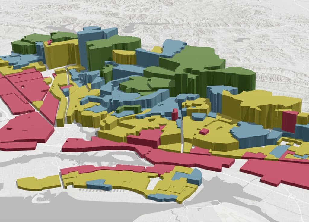
3D GIS extends traditional GIS capabilities by incorporating the third dimension, height or depth, to represent and analyze data in a three-dimensional environment. It is used in urban planning, architecture, Building Information Modeling (BIM), and landscape design to model and visualize buildings, terrain, and infrastructure in a more realistic manner.
Real-time GIS
Real-time GIS focuses on capturing, analyzing, and visualizing data as it is generated in real-time. It is valuable in applications such as fleet tracking, emergency response, and monitoring dynamic phenomena like weather events or traffic flow.

Real-time GIS
Real-time GIS focuses on capturing, analyzing, and visualizing data as it is generated in real-time. It is valuable in applications such as fleet tracking, emergency response, and monitoring dynamic phenomena like weather events or traffic flow.
get in touch
We're Here to Help!
Our team is happy to answer your questions. Contact us and we’ll be in touch as soon as possible.

