Aerial Mapping
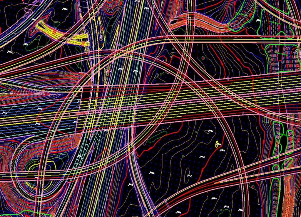
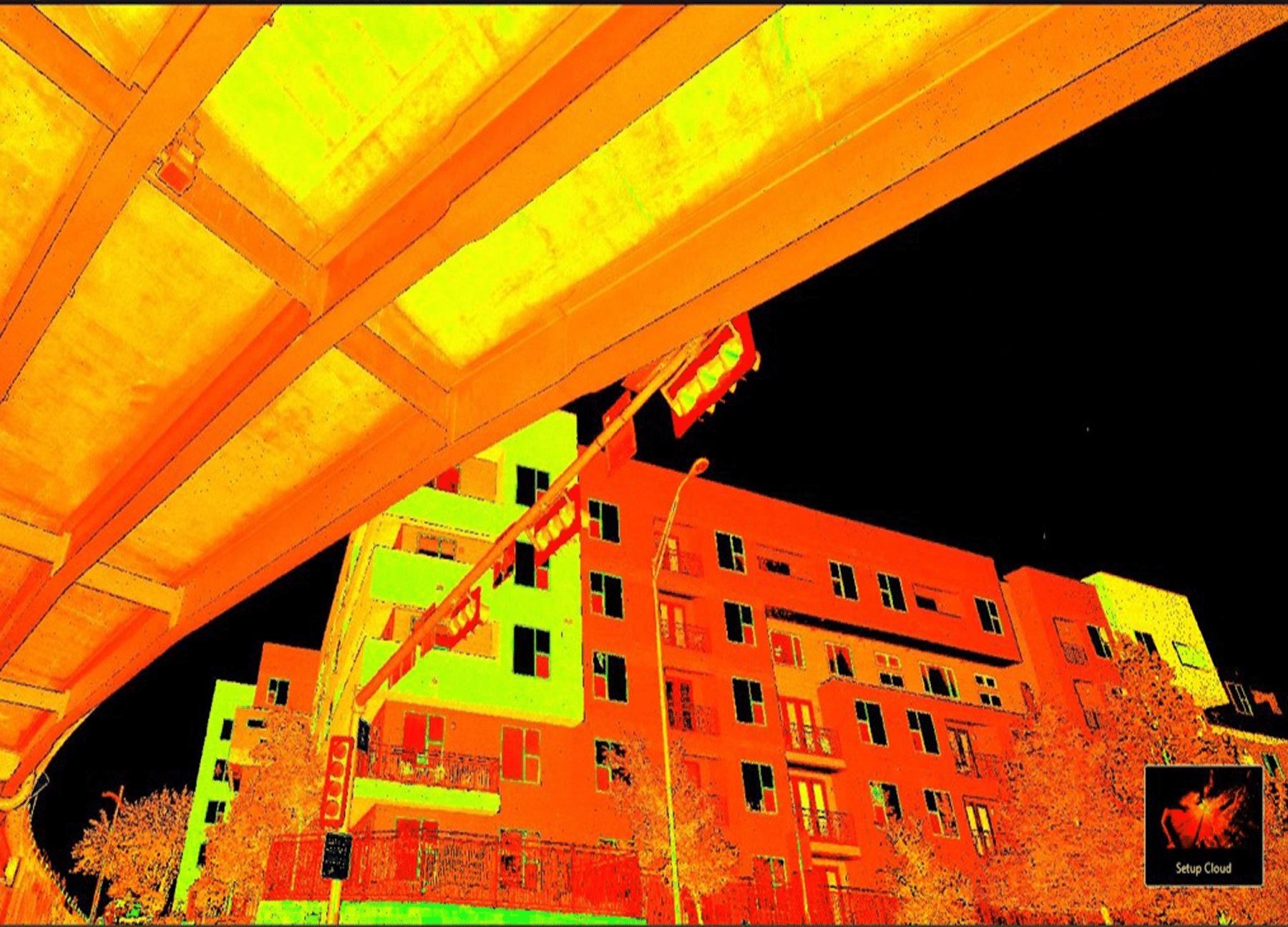
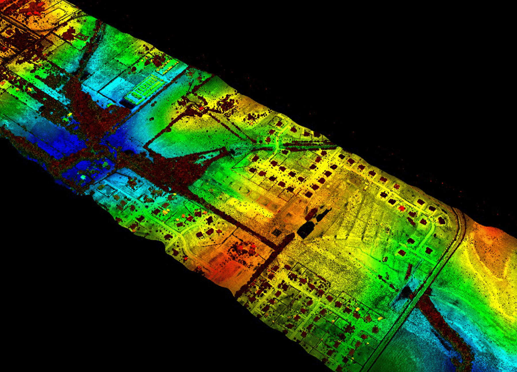
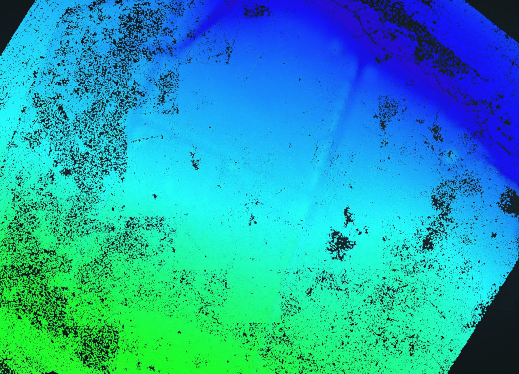
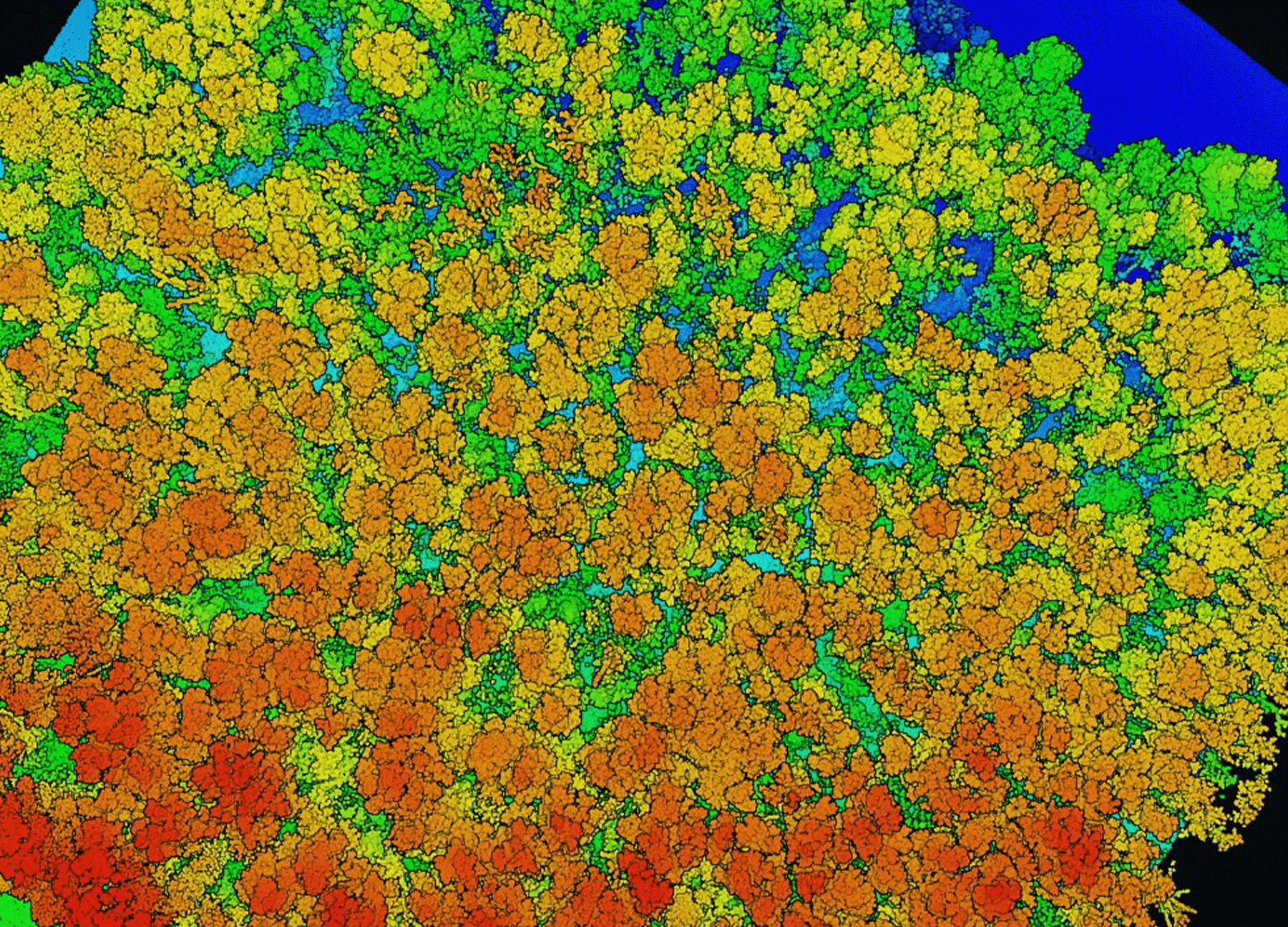

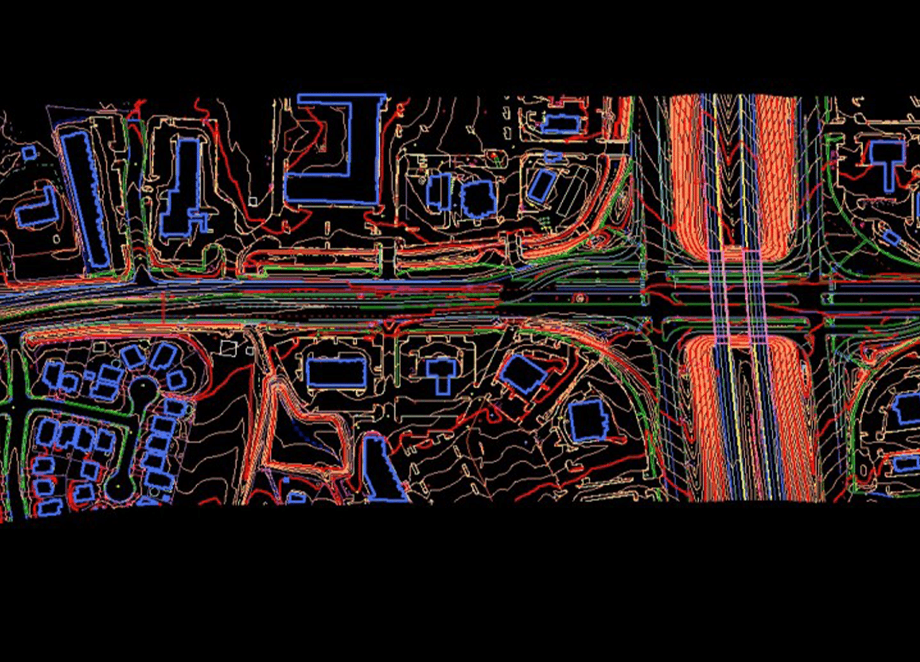
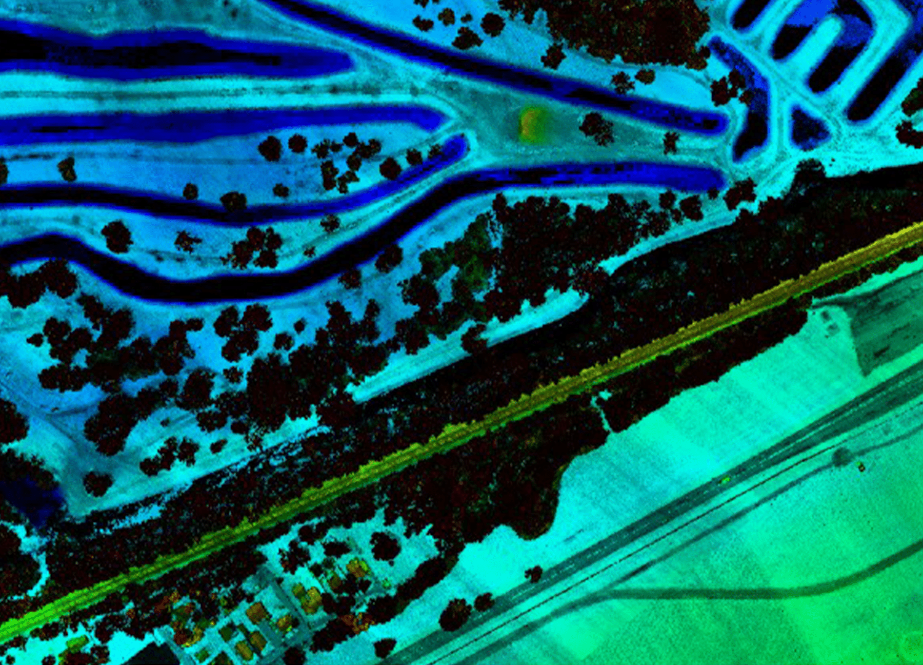


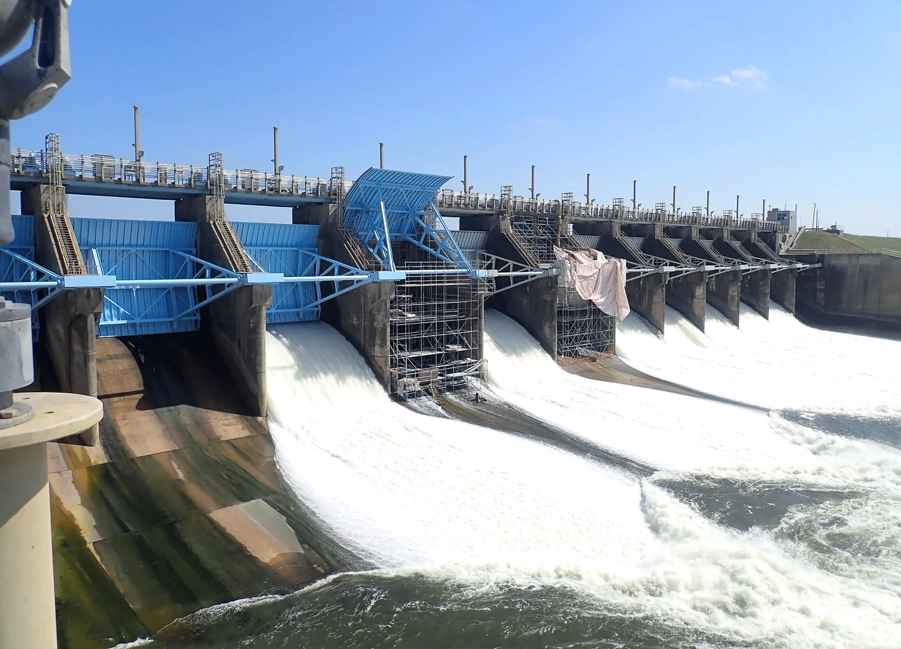

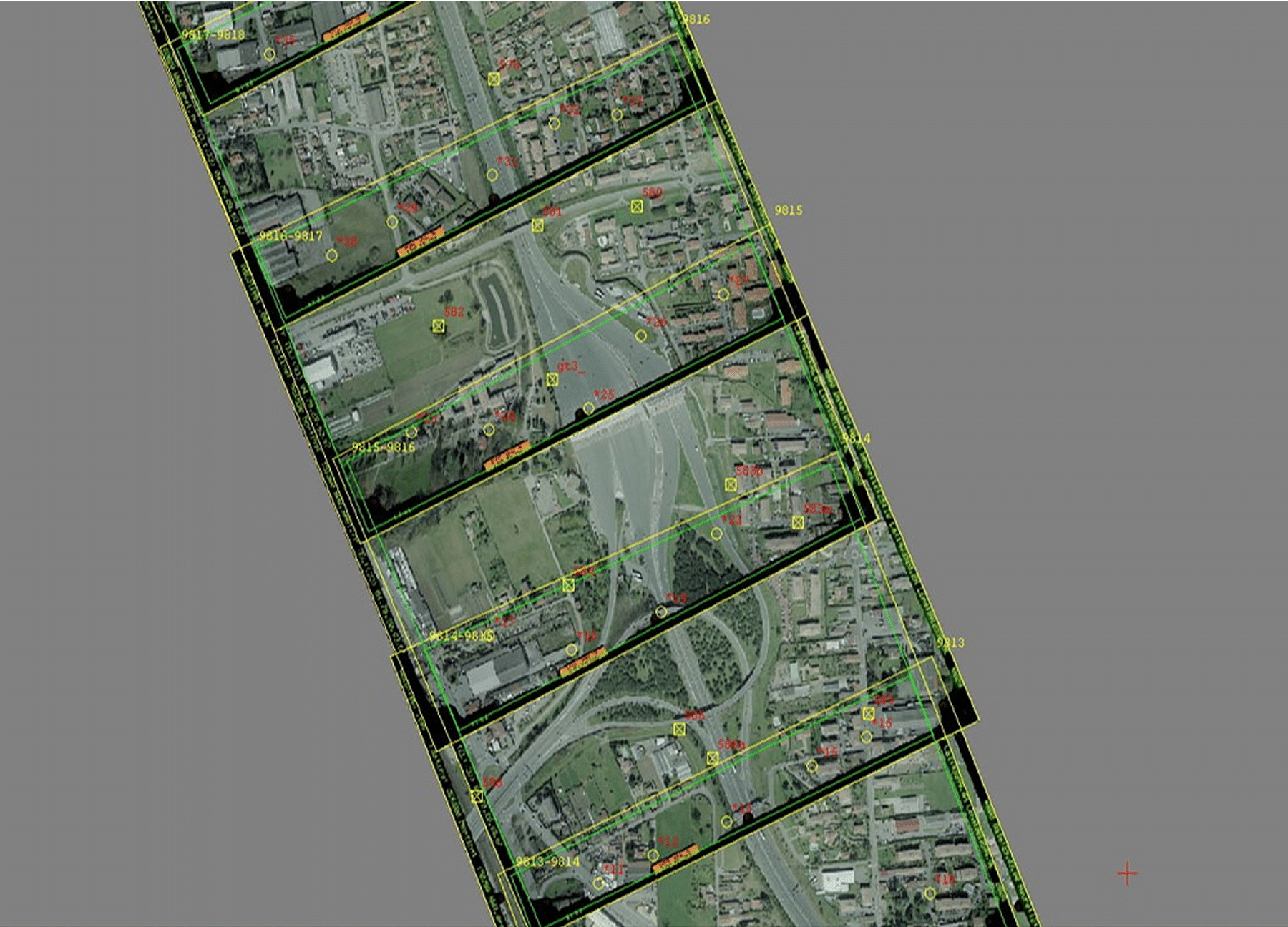
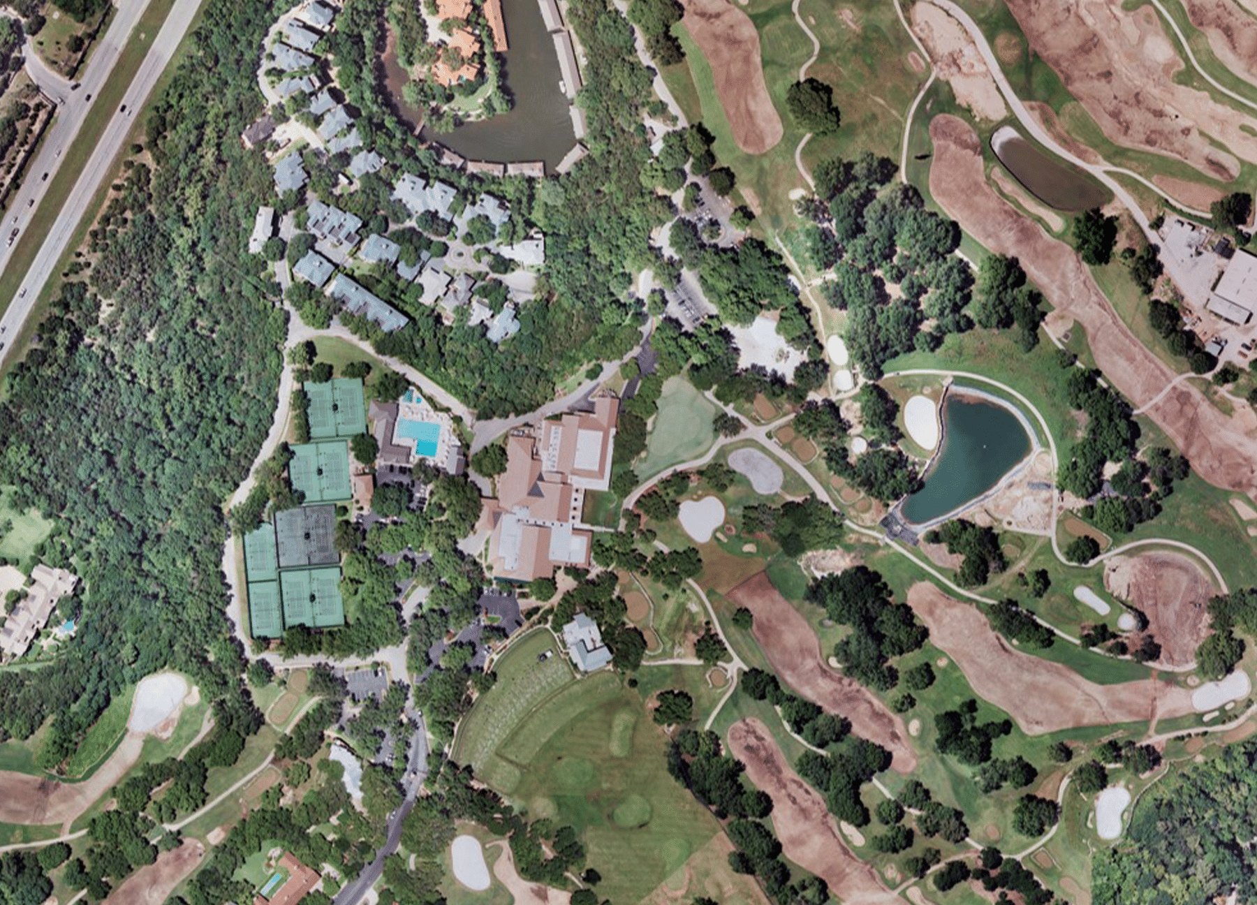
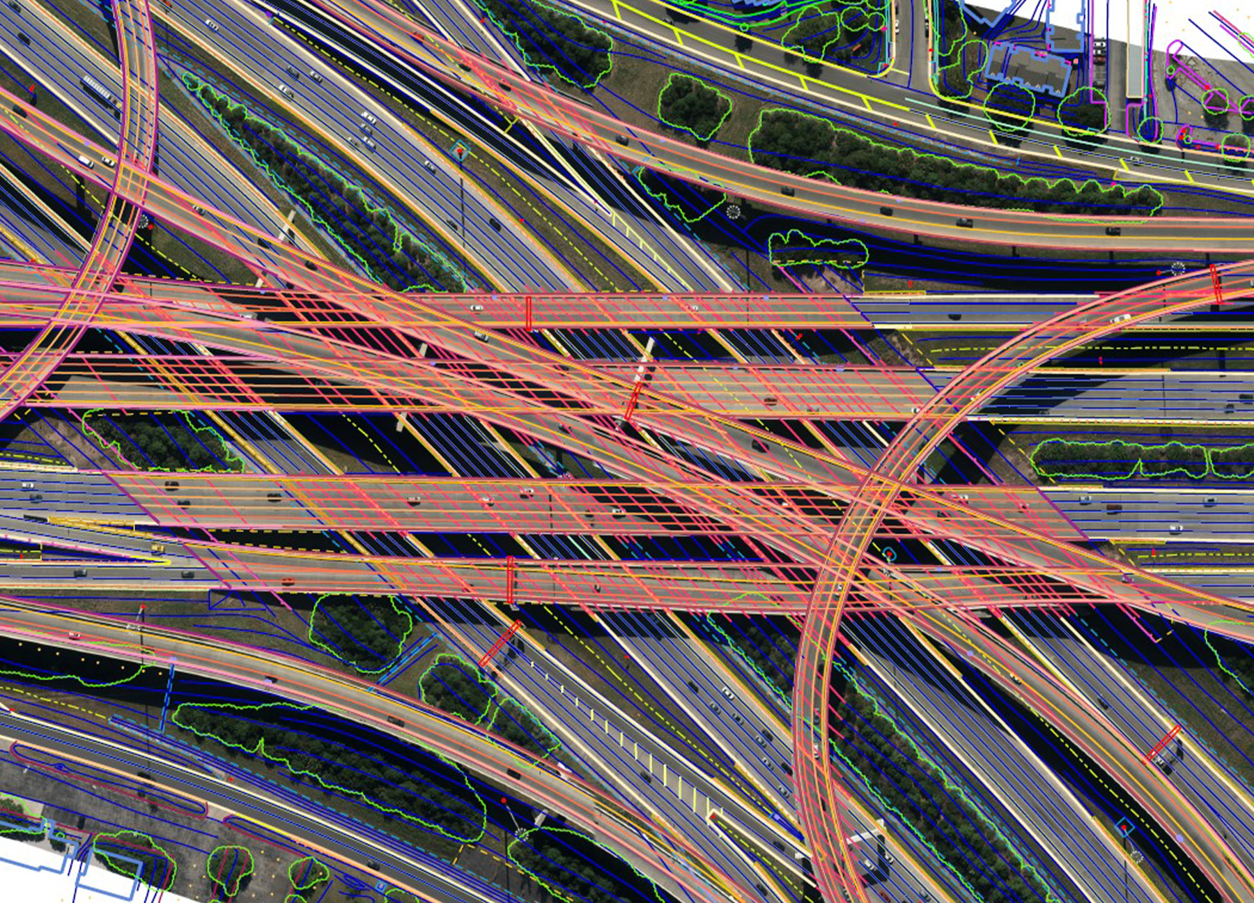
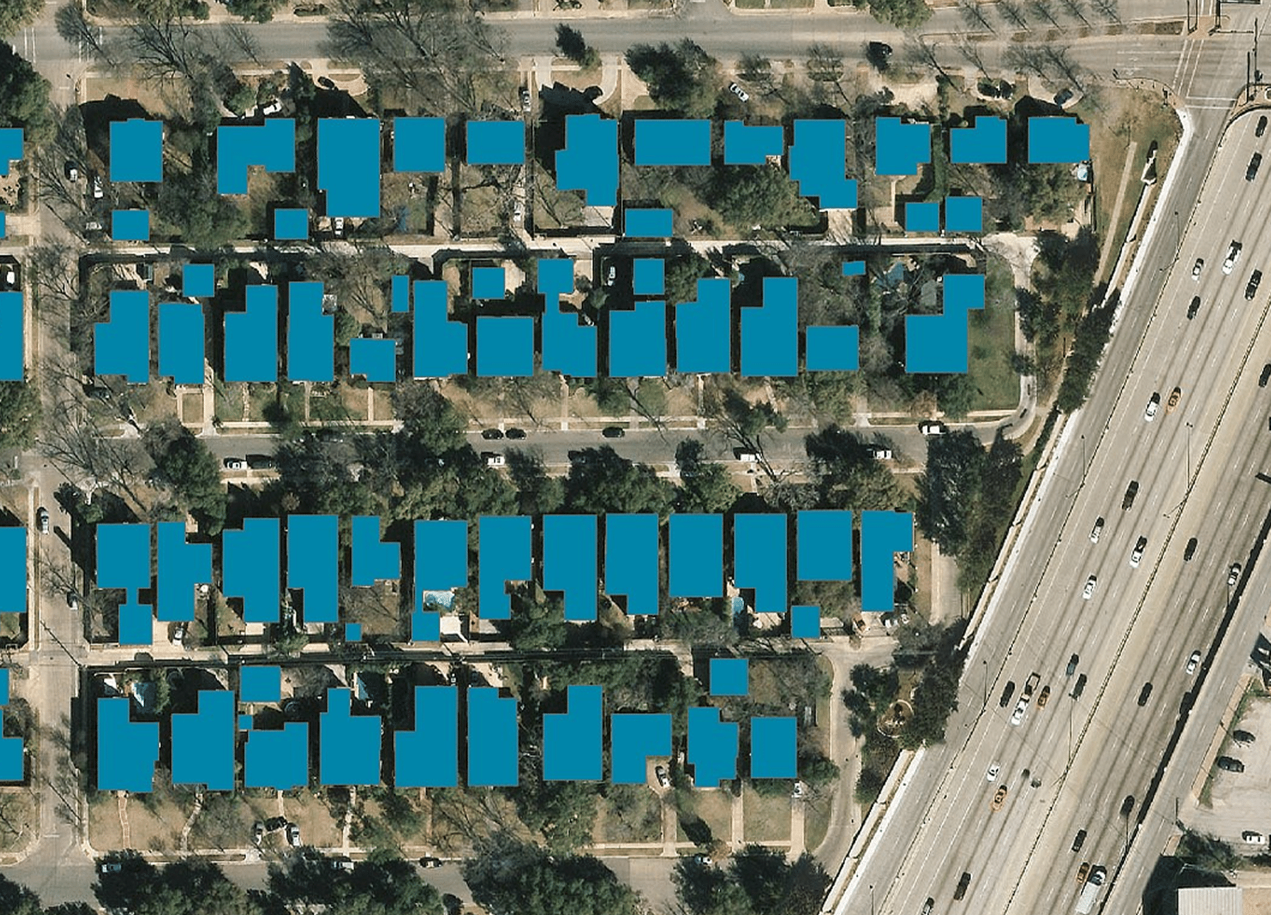
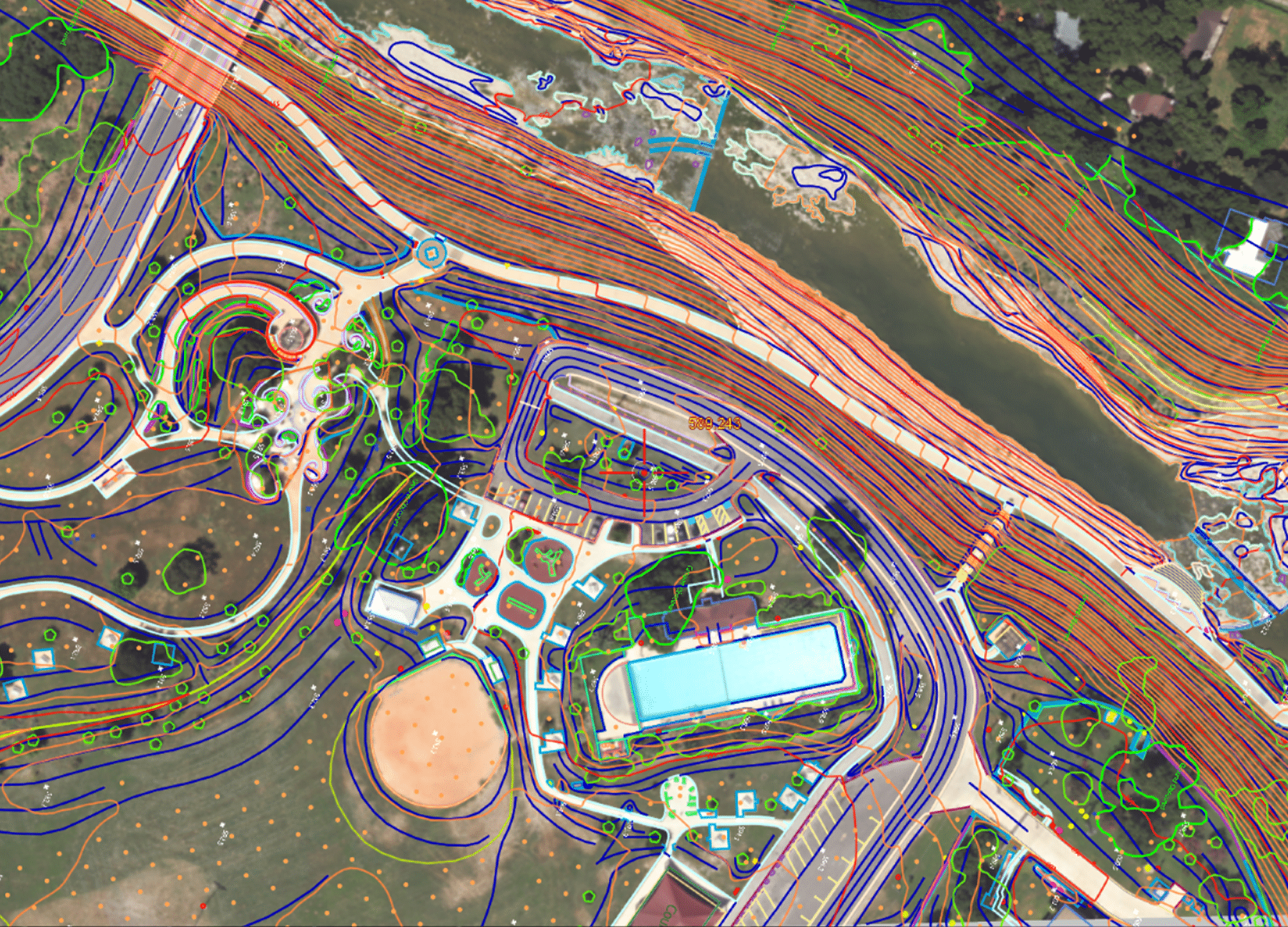
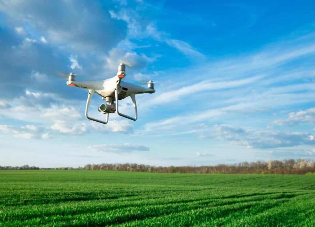
G&AI provides a wide variety of aerial mapping used in support of field survey. This requires acquisition of precision aerial photography and LiDAR for collecting geospatial data used for engineering-design and GIS related applications. G&AI’s aerial mapping experience includes producing digital orthoimagery, photogrammetry (2D planimetrics and 3D digital terrain modeling (DTM)) for water, pipeline corridor, transportation, railway, aviation, and transmission line projects. The G&AI aerial mapping group has extensive experience in providing turn-key aerial mapping products across Texas. G&AI’s staff includes two ASPRS Certified Photogrammetrists who manage and oversee the completion of all mapping projects.
Urban Areas
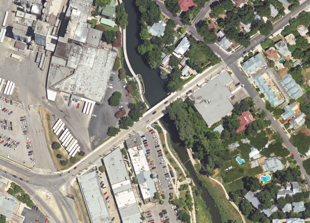

Urban Areas
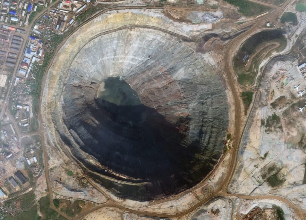
Mining and Exploration
Transportation and Infrastructure


Transportation and Infrastructure
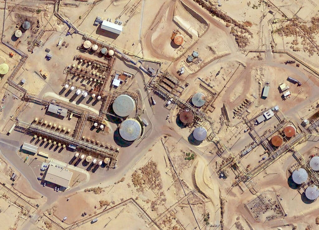
Oil and Gas Exploration
Environmental Monitoring
get in touch
We're Here to Help!
Our team is happy to answer your questions. Contact us and we’ll be in touch as soon as possible.

