Services
Level of Efficiency.
With the ever-changing technological requirements and trends of the industry, G&AI’s ongoing research contributes
to their position at the forefront of the industry.
G&AI provides a solid foundation for engineering projects by utilizing standard survey practices including topographic and design surveys, GPS monument placing, right of way and easement acquisition surveys, boundary surveys, and construction staking, as required per project. G&AI stays current with the ever-changing industry trends and standards through ongoing participation in professional organizations, continuing education, and safety training programs. With stringent recruitment standards, G&AI employs several of the most knowledgeable surveyors in the industry.
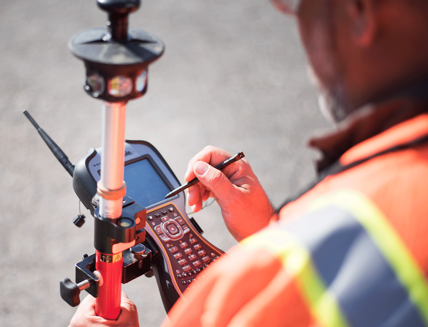

Our key philosophy is building long-term relationships with our clients. At G&AI, we pride ourselves on the ability to continue to support our clients as consultants, once the project is delivered. We leverage technology and innovative approaches to find new and better ways to visualize, analyze, and deliver data so that we may offer our clients competitive fees while continuing to provide the types of services and products our clients need and deserve.
Mobile LiDAR
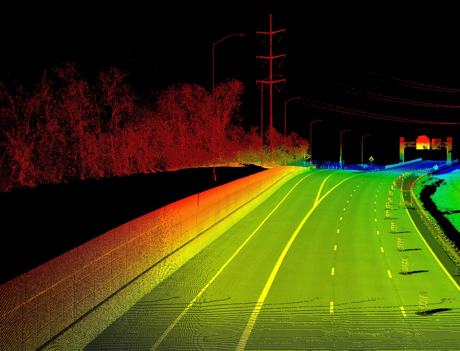
G&AI was the first firm in the country to obtain the Pegasus: Two Mobile Mapping System (MMS). The Pegasus: Two is a safe, ideal tool for roadway corridor mapping projects requiring an extraordinary level of detail and accuracy. The system incorporates a state-of-the-art LiDAR sensor (1,100,000 points per second), seven high-definition cameras (stitched stereo panoramic imagery synchronized to the point cloud – for highly efficient asset identification), one pavement camera for pavement analysis, and precision positional/navigational equipment to collect rich data for asset inventories and design-grade mapping—at highway speeds.
Aerial Mapping
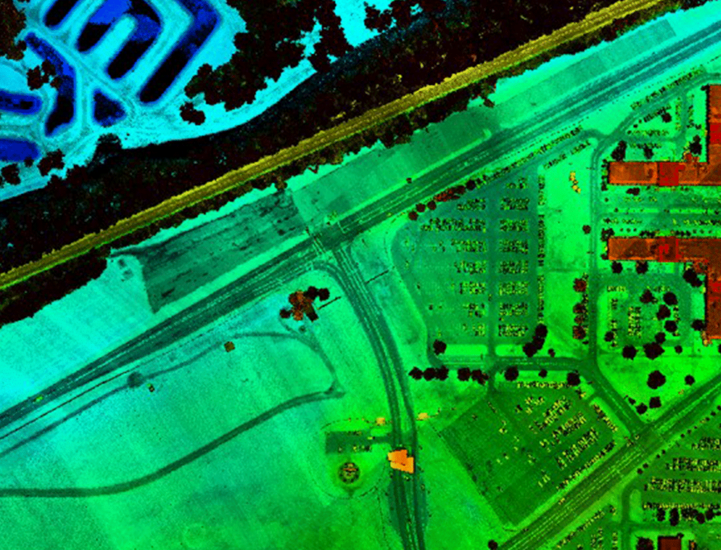
G&AI provides a wide variety of aerial mapping used in support of field survey. This requires acquisition of precision aerial photography and LiDAR for collecting geospatial data used for engineering-design and GIS related applications. G&AI’s aerial mapping experience includes producing digital orthoimagery, photogrammetry (2D planimetrics and 3D digital terrain modeling (DTM)) for water, pipeline corridor, transportation, railway, aviation, and transmission line projects.
Terrestrial Scanning
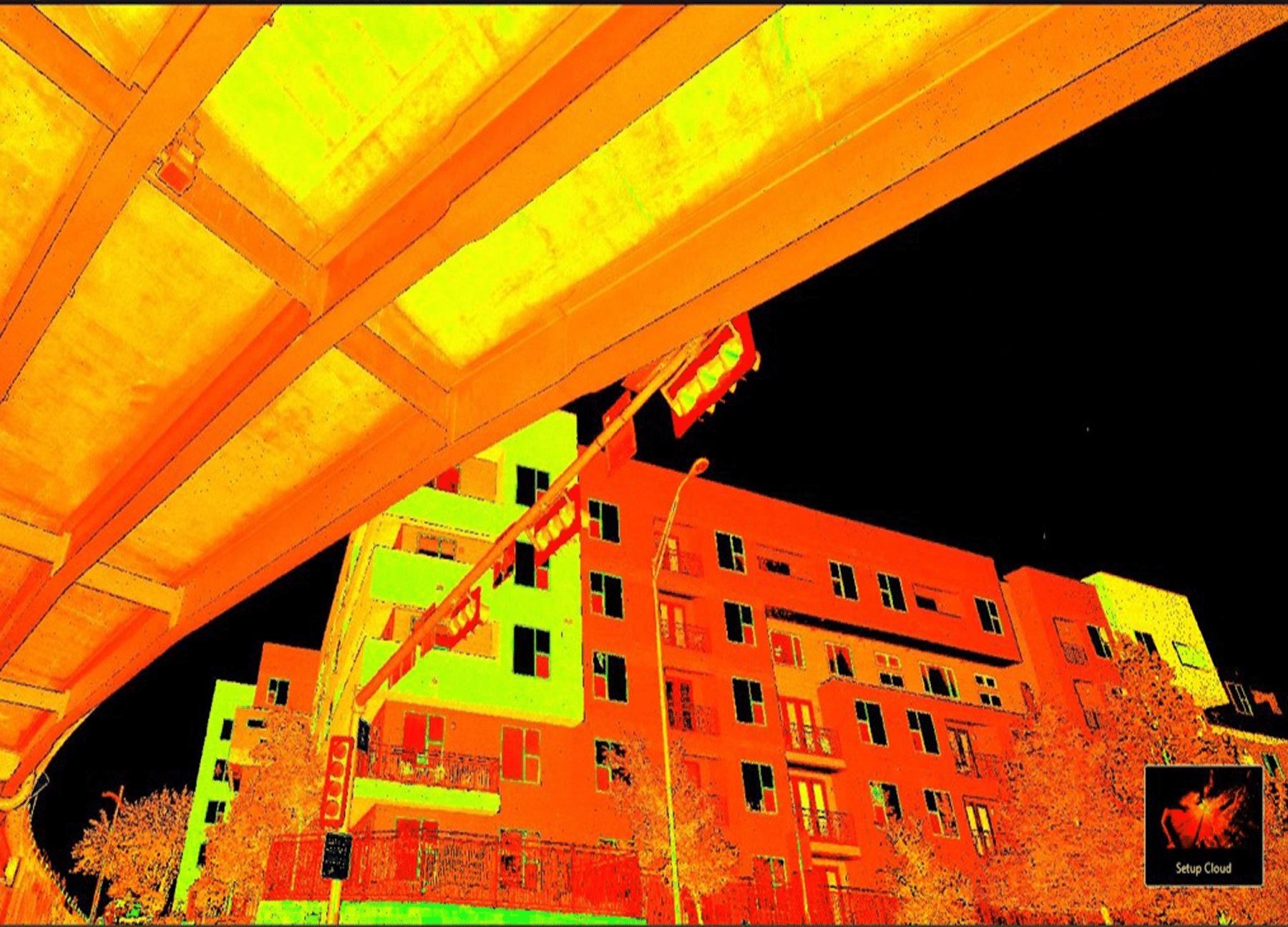
G&AI utilizes the Leica RTC360 Laser Scanner to collect LiDAR data at a scanning speed of up to 2 million points per second. The new technology has improved the survey process allowing for up to 110 scans per day as compared to previous technologies yielding 15 scans per day.
Unmanned Aerial Systems (UAS)
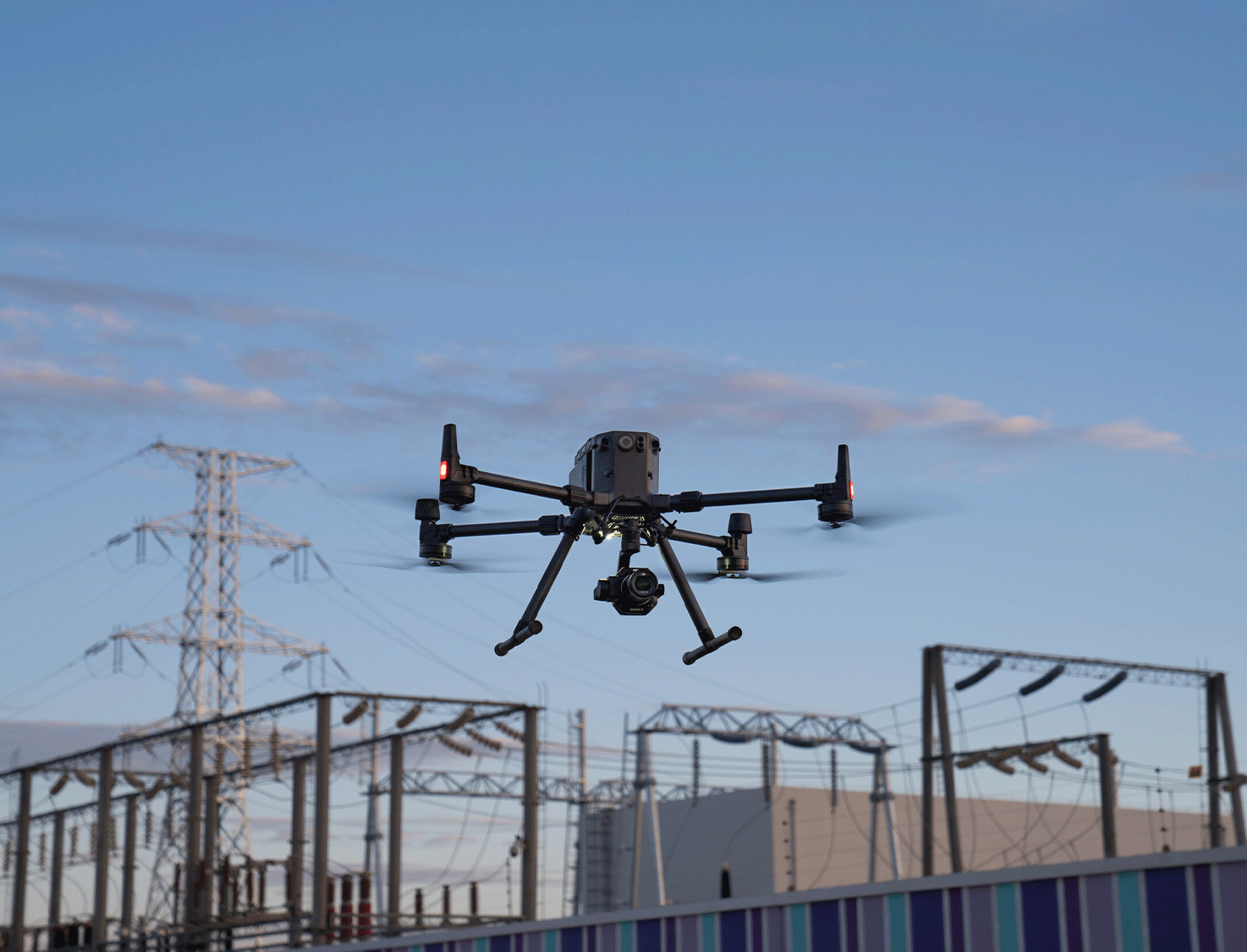
G&AI utilizes the Alpha Unmanned System Alpha 800 gas UAS (unmanned aerial system) helicopter. The Alpha 800 has 67” rotors, which allows for a 12 lbs. payload. The gasoline engine technology provides a 3.5-hour endurance with empty payload and approximately 2.5-hour endurance with multiple sensors. A backup battery and autorotation capabilities (like manned helicopters) ensures safe data collection and landing, should any technical issues occur.

Unmanned Aerial Systems
G&AI utilizes the Alpha Unmanned System Alpha 800 gas UAS (unmanned aerial system) helicopter. The Alpha 800 has 67” rotors, which allows for a 12 lbs. payload. The gasoline engine technology provides a 3.5-hour endurance with empty payload and approximately 2.5-hour endurance with multiple sensors. A backup battery and autorotation capabilities (like manned helicopters) ensures safe data collection and landing, should any technical issues occur.

Geographic Information Systems
get in touch
Submit a business inquiry
Our team is happy to answer your questions. Contact us and we’ll be in touch as soon as possible.

