Terrestrial Scanning
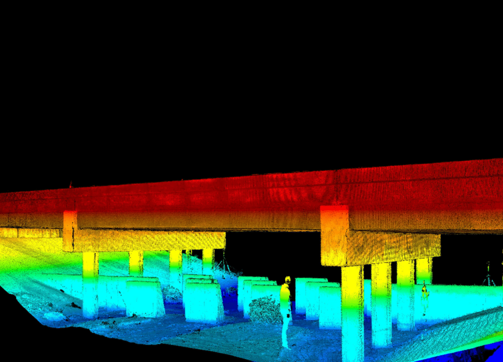
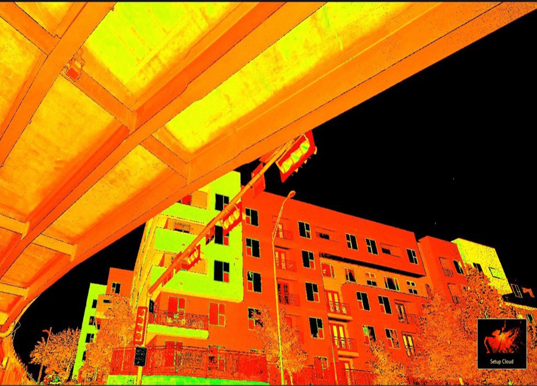
G&AI implements leading edge technology by utilizing the Leica RTC 360 terrestrial laser scanner for on-site data collection in hard-to-reach areas, such as, beneath bridges to capture substructure detail. This system is capable of 2,000,000 points per second with a 425-ft range. The absolute accuracy of this system is +/- 0.04-ft. vertical RMSE on hard surfaces. The RTC 360 can complete a single scan in under two minutes which makes for an efficient solution in capturing large quantities of as-built information. The system promotes safety for field crews due to the ability for the unit to be utilized out of the roadway. It is also a time-saver due to the ability to obtain faster, more accurate scans.

Static Terrestrial Scanning

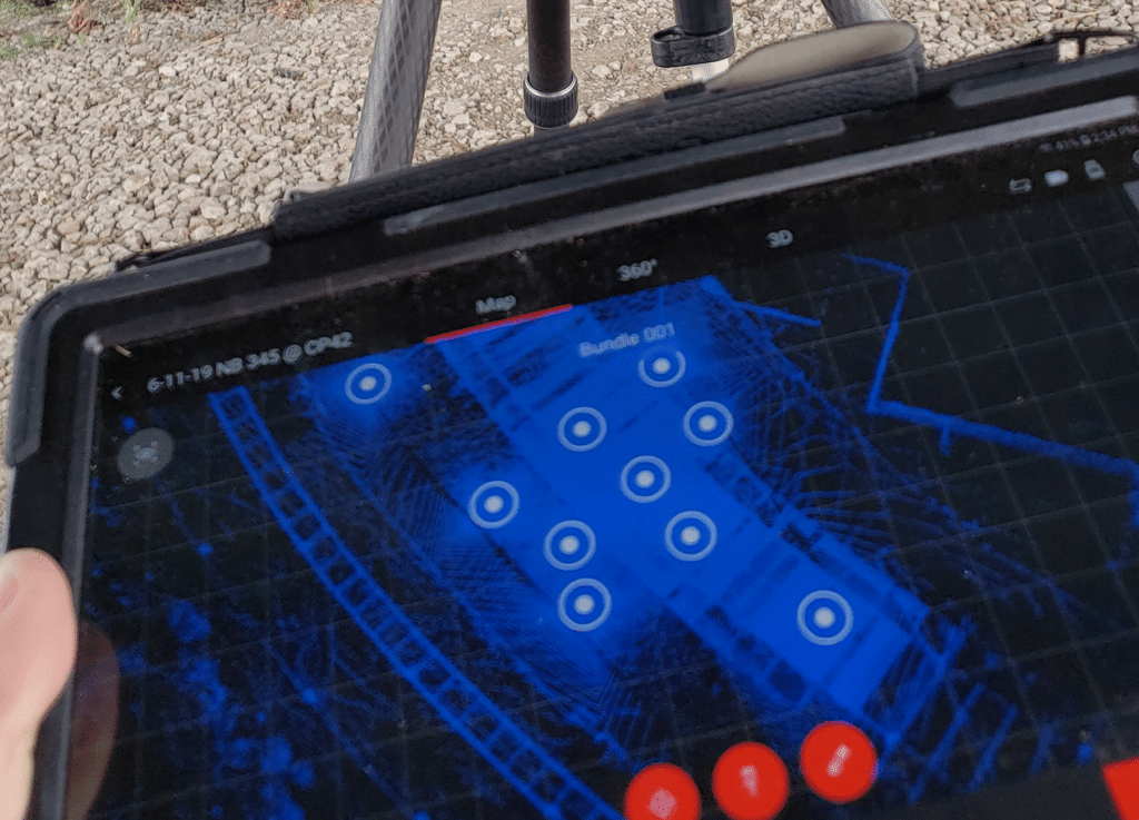
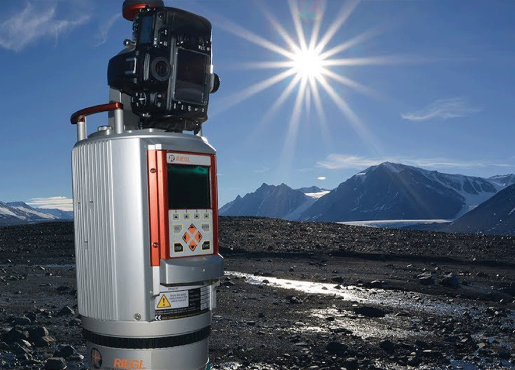
A stationary terrestrial laser scanner is set up at several sites in this method to record the surrounding surroundings in a 360-degree range. The scanner sends out laser pulses and time how long it takes for the light to return to the scanner after colliding with an object or surface. This method produces a dense point cloud of the scanned area.

Static Terrestrial Scanning

A stationary terrestrial laser scanner is set up at several sites in this method to record the surrounding surroundings in a 360-degree range. The scanner sends out laser pulses and time how long it takes for the light to return to the scanner after colliding with an object or surface. This method produces a dense point cloud of the scanned area.

Terrestrial Photogrammetry

Even though it is not the same thing as laser scanning, terrestrial photogrammetry entails taking pictures from a variety of perspectives and then using specialist software to triangulate points and build a three-dimensional model. It can be used instead of laser scanning to improve precision, or it can be used in conjunction with laser scanning.

Mobile Terrestrial Scanning

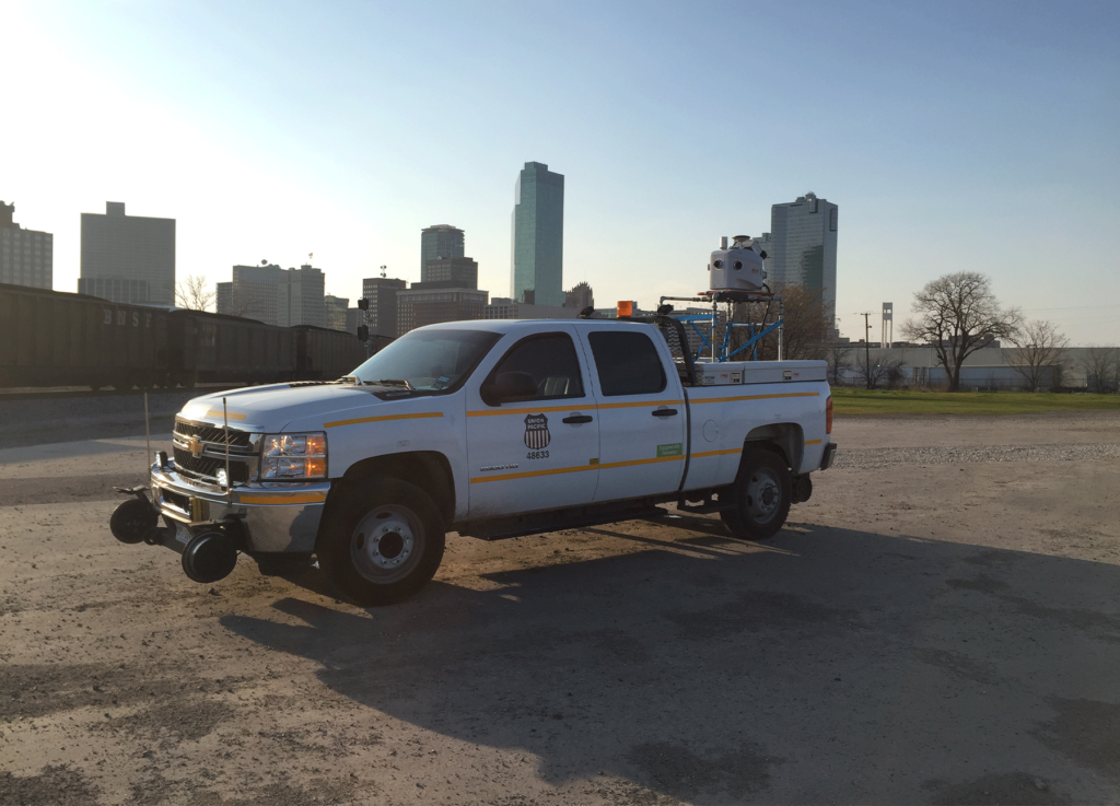
Mobile terrestrial scanning involves affixing the laser scanner to a moving platform, such as a vehicle or aircraft, so that it can collect data as the platform moves. The laser scanner collects data along the path followed by the platform as it moves, which enables the generation of 3D point clouds for large-scale landscapes.

Handheld Terrestrial Scanning
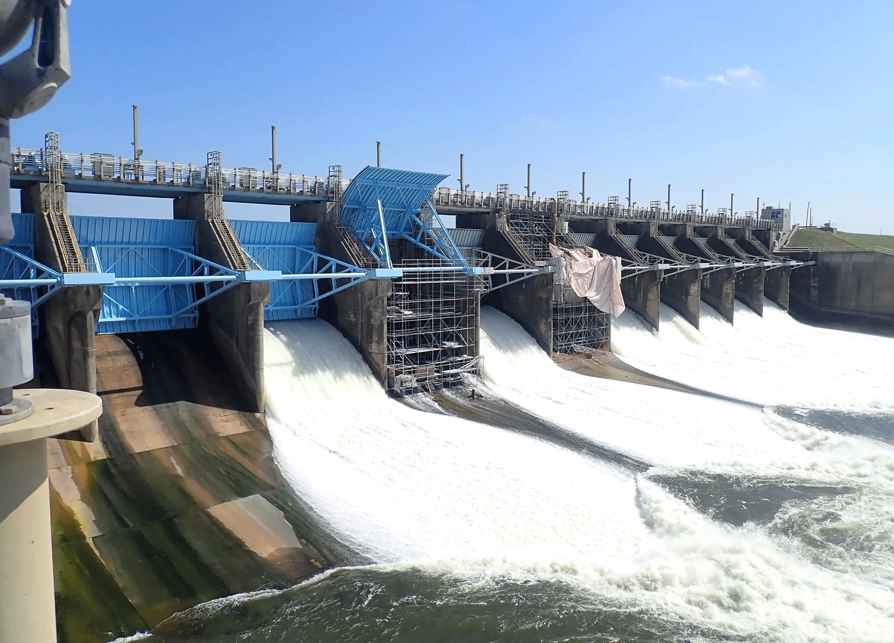
Portable handheld scanners are devices that may be carried by an operator to collect data from regions that are difficult to access or complex in nature. Applications in indoor spaces, architecture, and the preservation of cultural heritage frequently make use of them.

Kinematic Terrestrial Scanning

This method combines aspects of static and mobile scanning into a single approach. The scanner can be carried by a person or attached to a moving vehicle; data collection takes place while the platform is in motion. Applications such as monitoring and mapping of transportation infrastructure frequently make use of this technology.

Our team is happy to answer your questions. Contact us and we’ll be in touch as soon as possible.

1748
Scroll to Top