Ward County Water Supply
Expansion Project
About the Project
CLIENT
Colorado River Municipal Water District
LOCATION
Monahanns to Odessa, Texas
PROJECT TYPE
Skills Needed:AutoCAD, Digital Color, Orthophotography, Digital Terrain Model, Fully-automated Aerial Triangulation (FAAT), Photogrammetric Control Survey, Photogrammetric Mapping
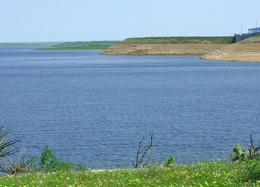
G&AI provided aerial photography and photogrammetry services for this project. Obtained new, color aerial photography at 1”=333’ photo scale (1:4,000) for a project area of approximately 16,724 acres in Ward County, and a pipeline corridor approximately 45 linear miles (500’ width) in Ward and Ector Counties at an altitude of approximately 2,000’ AMT (above mean terrain). Airborne GPS data was collected simultaneously with the acquisition of the aerial photography. Photogrammetric control surveys conformed to or exceeded US Army Corps of Engineers, Photogrammetric Control Standards for ground control. Digital data were collected at a 1” = 50’ scale for planimetric features that were identifiable and discernible from the aerial photographs. Fully-automated Aerial Triangulation (FAAT) process was performed and Digital Terrain Model (DTM) data were collected in a manner that accurately depicted the terrain and contours at 1’ intervals were developed from the DTM data and delivered in AutoCAD format (surface adjustment). Digital orthophotography was developed with 0.25’ pixel resolution and provided in TIF file format with TFW world file. All digital data were delivered in formats in accordance with client specifications.
G&AI provided aerial photography and photogrammetry services for this project. Obtained new, color aerial photography at 1”=333’ photo scale (1:4,000) for a project area of approximately 16,724 acres in Ward County, and a pipeline corridor approximately 45 linear miles (500’ width) in Ward and Ector Counties at an altitude of approximately 2,000’ AMT (above mean terrain). Airborne GPS data was collected simultaneously with the acquisition of the aerial photography. Photogrammetric control surveys conformed to or exceeded US Army Corps of Engineers, Photogrammetric Control Standards for ground control. Digital data were collected at a 1” = 50’ scale for planimetric features that were identifiable and discernible from the aerial photographs. Fully-automated Aerial Triangulation (FAAT) process was performed and Digital Terrain Model (DTM) data were collected in a manner that accurately depicted the terrain and contours at 1’ intervals were developed from the DTM data and delivered in AutoCAD format (surface adjustment). Digital orthophotography was developed with 0.25’ pixel resolution and provided in TIF file format with TFW world file. All digital data were delivered in formats in accordance with client specifications.
Our team is happy to answer your questions. Contact us and we’ll be in touch as soon as possible.