TxDOT- IH 35
About the Project
CLIENT
TxDOT Dallas District
LOCATION
Waxahachie, Texas
PROJECT TYPE
Mobile LiDAR
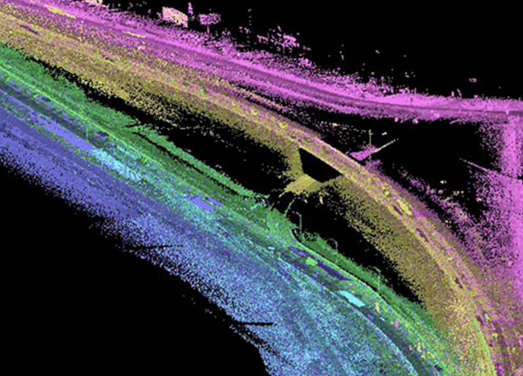
G&AI performed mobile LiDAR along an 11-mile corridor IH-35 in Waxahachie, Texas. Main lanes and services roads were captured (from EOP to EOP) for this engineering design project. Once the data was acquired, the G&AI LiDAR team processed, classified, and performed quality control checks on the constrained data. The LiDAR data was then used to extract planimetric and DTM features along the project corridor. The LiDAR met project accuracy specifications of 0.05’ on all hard surfaces within the project limits. Final deliverables included the point cloud, georeferenced imagery, and 2D/3D CADD files.
G&AI performed mobile LiDAR along an 11-mile corridor IH-35 in Waxahachie, Texas. Main lanes and services roads were captured (from EOP to EOP) for this engineering design project. Once the data was acquired, the G&AI LiDAR team processed, classified, and performed quality control checks on the constrained data. The LiDAR data was then used to extract planimetric and DTM features along the project corridor. The LiDAR met project accuracy specifications of 0.05’ on all hard surfaces within the project limits. Final deliverables included the point cloud, georeferenced imagery, and 2D/3D CADD files.
Get in touch
We're Here to Help!
Our team is happy to answer your questions. Contact us and we’ll be in touch as soon as possible.