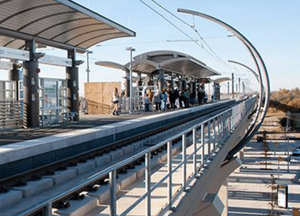
Transfer Station and NE Police Station
About the Project
CLIENT
Dallas Area Rapid Transit (DART)
LOCATION
Dallas, Texas
PROJECT TYPE
Boundary Survey, Deed Research, Digital Terrain Model Platting, Professional Land Surveying, Topographic Survey

G&AI was contracted by DART to perform surveying services associated with the design of the transfer station and DART’s NE police station. G&AI performed the deed research on the parent tract of land and adjoining properties. G&AI utilized existing DART control monuments and verified the three closest DWU benchmarks associated with utility plan sets. G&AI performed the boundary survey and the topographic mapping of the 6.859 acre site. G&AI located all improvements, utilities, driveways, LBJ access road, adjacent rail lines and existing facilities. G&AI furnished DART with the boundary survey, topographic survey, digital terrain model (DTM) with 1-foot contour lines and digital files created to DART’s CADD standards. After the design of the transfer station was approved by DART, G&AI was asked to provide the platting services for the facility. The platting was performed to City standards working closely with subdivision staff to ensure all requirements were met and to receive departmental approval.
G&AI acquired and processed 2,064 linear miles for an asset inventory within the City of Tulsa, OK city limits. The processed and classified point cloud and simultaneously collected 360° high-definition imagery were used to performed feature extraction of city assets including, streetlights, guardrails, MUTCD signs, traffic signals, traffic signal cabinets, and school zone flashers. All assets were collected and placed in a 3D ESRI geodatabase.
G&AI acquired and processed 2,064 linear miles for an asset inventory within the City of Tulsa, OK city limits. The processed and classified point cloud and simultaneously collected 360° high-definition imagery were used to performed feature extraction of city assets including, streetlights, guardrails, MUTCD signs, traffic signals, traffic signal cabinets, and school zone flashers. All assets were collected and placed in a 3D ESRI geodatabase.
get in touch
We're Here to Help!
Our team is happy to answer your questions. Contact us and we’ll be in touch as soon as possible.

