TexRail Design Build Project
About the Project
CLIENT
Fort Worth Transportation Authority
LOCATION
Fort Worth, Texas
PROJECT TYPE
Design Survey, GPS and Geodetic Control Survey, Professional Land Surveying, Topographic Survey
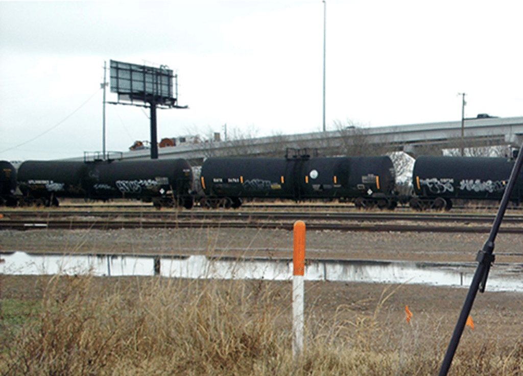
G&AI was responsible for providing comprehensive subsurface utility engineering services and land surveying for the future light rail line from Sycamore School Road to DFW International Airport. Services included static GPS for the creation of a horizontal and vertical control network for the project, supplemental topographic/design surveying and the pulling of records and mapping of utilities. This new transit program will utilize both existing and new rail. G&AI provided cost estimates for the utility adjustments at street crossings and station locations. G&AI wrote the utility summary with possible impact to the project within the EIS. Phase II included the mapping of all utilities in the existing corridors, at street crossings and proposed rail stations.
G&AI acquired and processed 2,064 linear miles for an asset inventory within the City of Tulsa, OK city limits. The processed and classified point cloud and simultaneously collected 360° high-definition imagery were used to performed feature extraction of city assets including, streetlights, guardrails, MUTCD signs, traffic signals, traffic signal cabinets, and school zone flashers. All assets were collected and placed in a 3D ESRI geodatabase.
G&AI acquired and processed 2,064 linear miles for an asset inventory within the City of Tulsa, OK city limits. The processed and classified point cloud and simultaneously collected 360° high-definition imagery were used to performed feature extraction of city assets including, streetlights, guardrails, MUTCD signs, traffic signals, traffic signal cabinets, and school zone flashers. All assets were collected and placed in a 3D ESRI geodatabase.
Our team is happy to answer your questions. Contact us and we’ll be in touch as soon as possible.