Texoma to Wylie Waterline Extension 48” – 105”
About the Project
CLIENT
North Texas Municipal Water District
LOCATION
Wylie, Texas
PROJECT TYPE
Boundary survey, Professional Land Survey, Topographic Survey
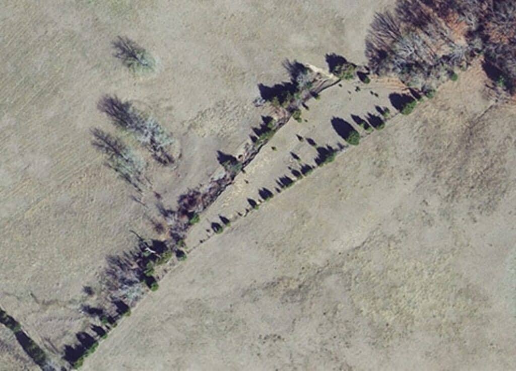
G&AI was responsible for several surveying task which included boundary, topographic, and survey control for the Texoma to Wylie Waterline Extension project. This project consisted of a water transmission line being approximately 45 miles in length and a water treatment plant. G&AI established five main GPS static control points across the waterline project and it was placed to be used on future NTMWD projects. The main control was tied into existing GPS static control points form a previous NTMWD reservoir project completed by G&AI several years prior. G&AI set horizontal and vertical control points for construction every 1500’ along the route. All control established was based on the Texas State Plane Coordinate System NAD 83, North Central Zone, with NAVD 88 elevations. G&AI performed boundary surveys for approximately 32 miles of the waterline which included adjoining parcels to the subject properties. G&AI also prepared a right-of-way map and legal descriptions with exhibits for easement acquisition across 200 parcels of land.
G&AI was responsible for several surveying task which included boundary, topographic, and survey control for the Texoma to Wylie Waterline Extension project. This project consisted of a water transmission line being approximately 45 miles in length and a water treatment plant. G&AI established five main GPS static control points across the waterline project and it was placed to be used on future NTMWD projects. The main control was tied into existing GPS static control points form a previous NTMWD reservoir project completed by G&AI several years prior. G&AI set horizontal and vertical control points for construction every 1500’ along the route. All control established was based on the Texas State Plane Coordinate System NAD 83, North Central Zone, with NAVD 88 elevations. G&AI performed boundary surveys for approximately 32 miles of the waterline which included adjoining parcels to the subject properties. G&AI also prepared a right-of-way map and legal descriptions with exhibits for easement acquisition across 200 parcels of land.
Our team is happy to answer your questions. Contact us and we’ll be in touch as soon as possible.