T-Bar Well Field Development and Delivery Project
About the Project
CLIENT
City of Midland Fresh Water District No. 1
LOCATION
Kermit to Midland, Texas
PROJECT TYPE
Boundary survey, Construction Staking, Easement Staking, Professional Land Survey, Topographic mapping, Photogrammetric Mapping
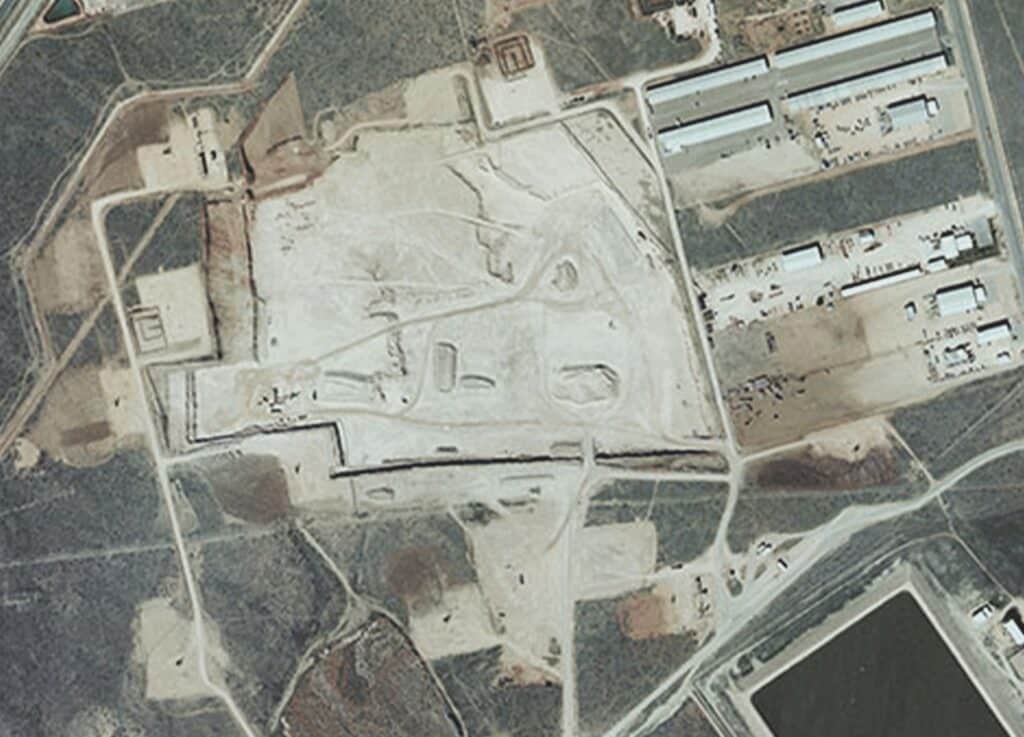
This project was an accelerated design/build water transmission pipeline being approximately 70 miles in length and approximately 27 miles of well field collection piping. The well field had 50 proposed wells spread out over 7000 acres, and three storage tanks with pump stations along the route. G&AI was responsible for several tasks which included surveying and aerial mapping. The surveying task comprised of setting survey control, boundary, supplemental centerline profile, and easement staking along the entire alignment. G&AI established horizontal and vertical control points every 1500’ based on the Texas State Plane Coordinate System NAD 83, Central Zone, with NAVD 88 elevations. G&AI performed boundary surveys over the entire length of the waterline that extended several miles on either side of the proposed alignment. G&AI staked out all 50 proposed wells under the Black and Veatch contract. The aerial mapping comprised of a 10 mile wide by 70 mile long flight in which the photogrammetric mapping of the water line and well field was captured. G&AI set 80 aerial panels for flight control in the well field and along the waterline route.
This project was an accelerated design/build water transmission pipeline being approximately 70 miles in length and approximately 27 miles of well field collection piping. The well field had 50 proposed wells spread out over 7000 acres, and three storage tanks with pump stations along the route. G&AI was responsible for several tasks which included surveying and aerial mapping. The surveying task comprised of setting survey control, boundary, supplemental centerline profile, and easement staking along the entire alignment. G&AI established horizontal and vertical control points every 1500’ based on the Texas State Plane Coordinate System NAD 83, Central Zone, with NAVD 88 elevations. G&AI performed boundary surveys over the entire length of the waterline that extended several miles on either side of the proposed alignment. G&AI staked out all 50 proposed wells under the Black and Veatch contract. The aerial mapping comprised of a 10 mile wide by 70 mile long flight in which the photogrammetric mapping of the water line and well field was captured. G&AI set 80 aerial panels for flight control in the well field and along the waterline route.
Our team is happy to answer your questions. Contact us and we’ll be in touch as soon as possible.