Randol Mill Rd.
About the Project
CLIENT
City of Arlington
LOCATION
Arlington, Texas
PROJECT TYPE
Aerial Mapping, Professional Land Surveying
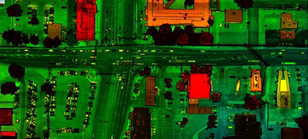
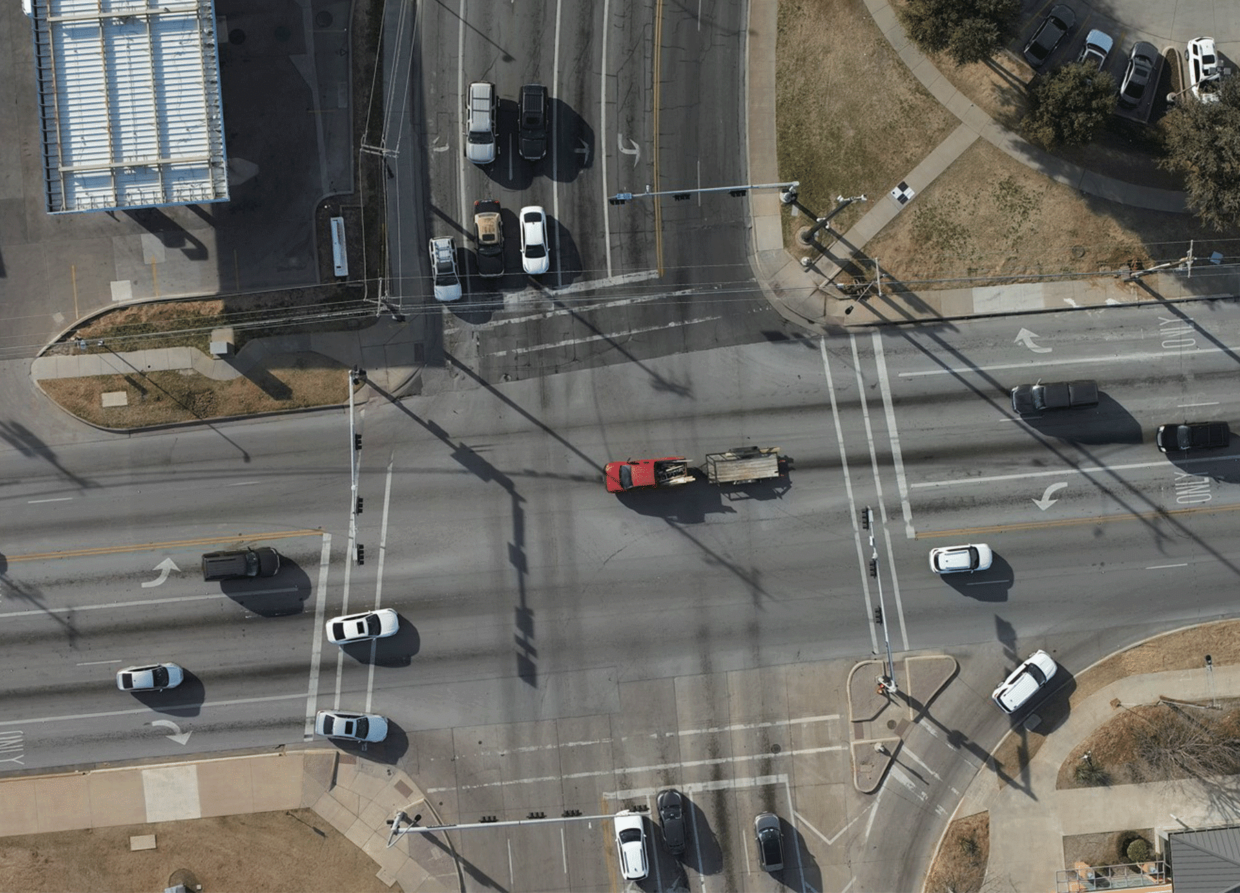
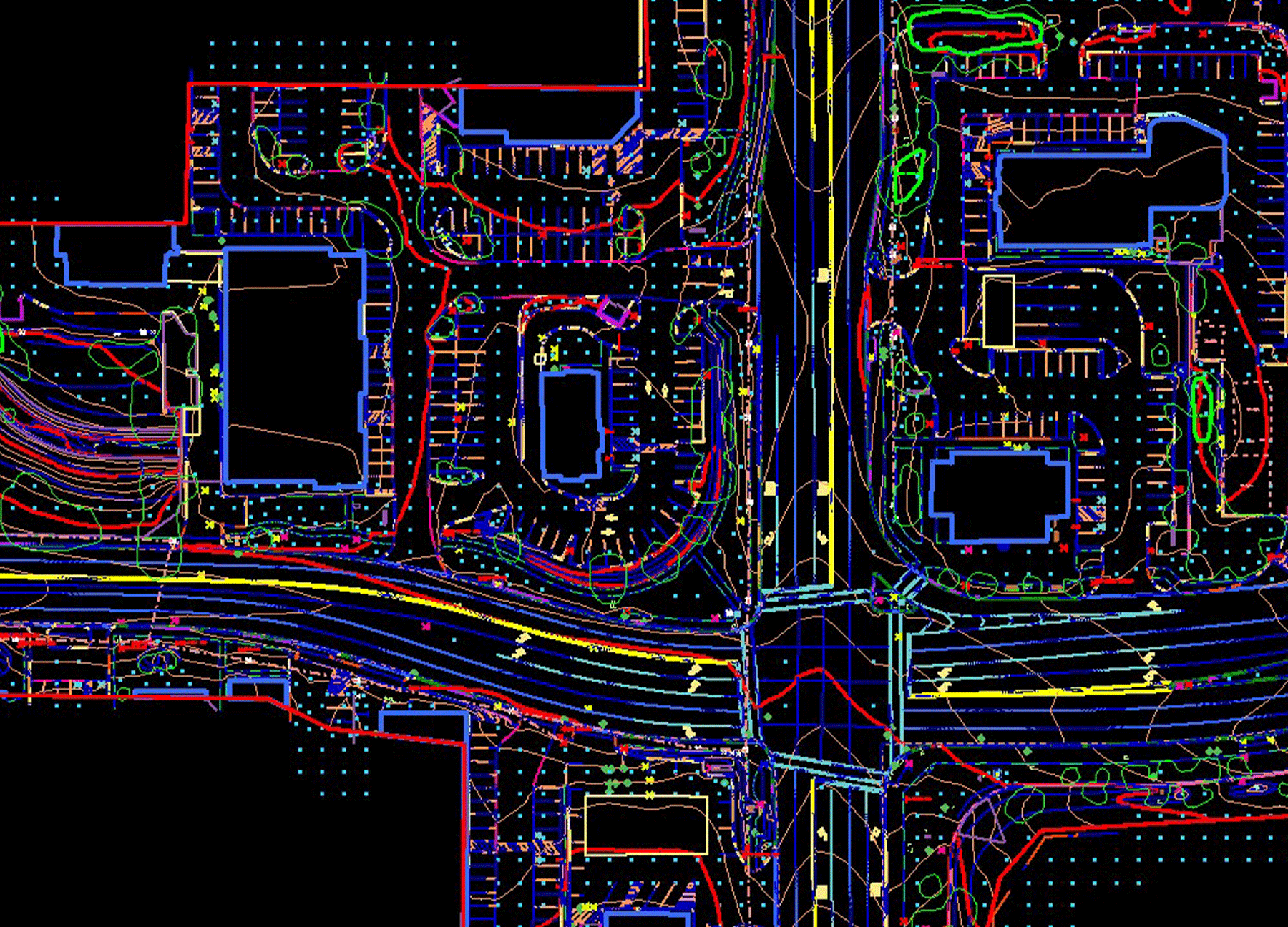
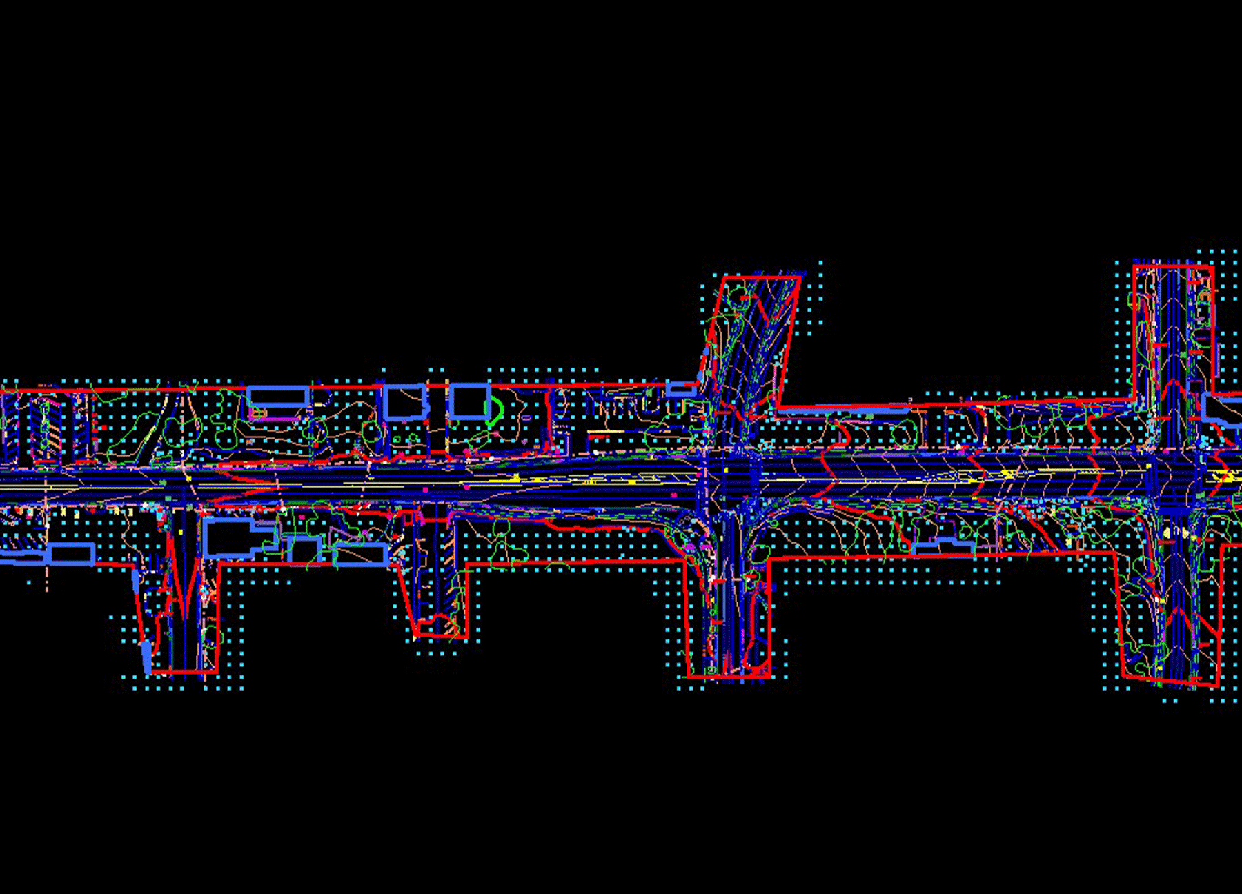
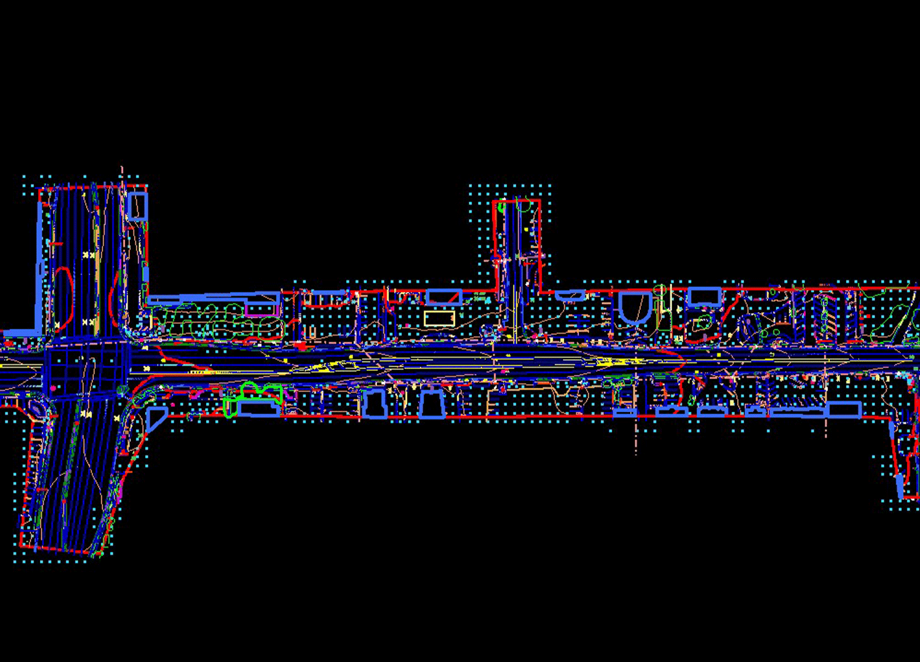
G&AI established horizontal and vertical control for the project, performed supplemental ground surveys that include identifying obscured areas, size and types of trees 4 inches or larger, sewer/storm manholes, drainage structures, water valves, water meters, above ground franchise utility features and signs within the aerial data. G&AI acquired color digital aerial photography and aerial LiDAR from a UAS platform, conducted analytical aerial triangulation adjustment, and collect photogrammetric planimetric features. The Boundary to Support ROW/Easement Documents involved researching property Project Clients, obtaining copies of subdivision plats, Project Client ship deeds, and easements, and locating property corners, established property and right-of-way lines.
G&AI established horizontal and vertical control for the project, performed supplemental ground surveys that include identifying obscured areas, size and types of trees 4 inches or larger, sewer/storm manholes, drainage structures, water valves, water meters, above ground franchise utility features and signs within the aerial data. G&AI acquired color digital aerial photography and aerial LiDAR from a UAS platform, conducted analytical aerial triangulation adjustment, and collect photogrammetric planimetric features. The Boundary to Support ROW/Easement Documents involved researching property Project Clients, obtaining copies of subdivision plats, Project Client ship deeds, and easements, and locating property corners, established property and right-of-way lines.
Our team is happy to answer your questions. Contact us and we’ll be in touch as soon as possible.