Denton Enterprise Airport Parallel Runway
About the Project
CLIENT
Denton Enterprise Airport
LOCATION
Denton, TX
PROJECT TYPE
Topographic Survey, Aerial LiDAR, and Mobile LiDAR
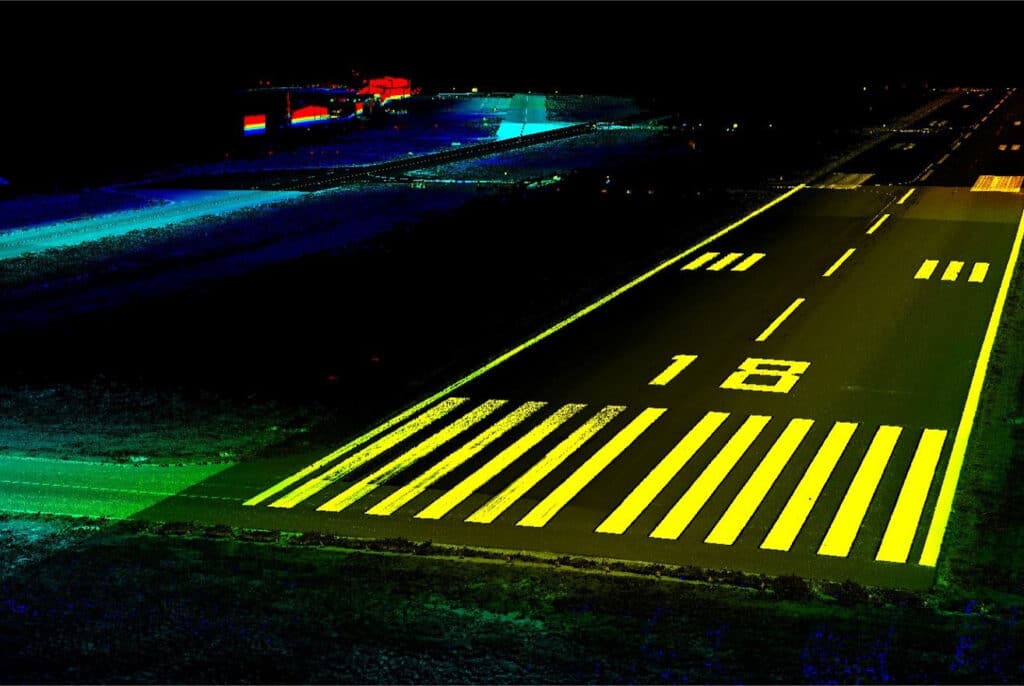
G&AI provided professional land surveying services including topographic, aerial and mobile survey. The project included an aerial photogrammetric survey for the entire project area, totaling approximately 400 acres. This was supplemented with the collection of Mobile LiDAR data along the north-south runway (approximately 7,825′ in length) and along selected portions of the tarmac, as outlined on the project map.
G&AI provided professional land surveying services including topographic, aerial and mobile survey. The project included an aerial photogrammetric survey for the entire project area, totaling approximately 400 acres. This was supplemented with the collection of Mobile LiDAR data along the north-south runway (approximately 7,825′ in length) and along selected portions of the tarmac, as outlined on the project map.
G&AI provided professional land surveying services including topographic, aerial and mobile survey. The project included an aerial photogrammetric survey for the entire project area, totaling approximately 400 acres. This was supplemented with the collection of Mobile LiDAR data along the north-south runway (approximately 7,825′ in length) and along selected portions of the tarmac, as outlined on the project map.
Our team is happy to answer your questions. Contact us and we’ll be in touch as soon as possible.