Denton County Transportation Authority Transfer Stations
About the Project
CLIENT
Denton County Transportation Authority
LOCATION
Denton, Texas
PROJECT TYPE
Boundary Survey, Platting, Professional Land Surveying, Topographic Survey

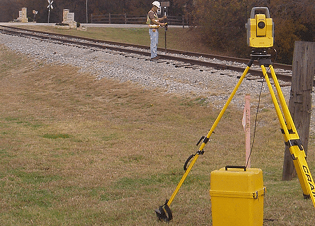
G&AI was subcontracted to perform surveying services associated with the acquisition and design of proposed transfer stations on the new Denton County Transportation Authority (DCTA) line. G&AI performed ownership research on the properties to be acquired by DCTA and on the properties adjoining the proposed transfer station sites. G&AI utilized existing DCTA horizontal and vertical control points to perform the boundary surveys and topographic mapping. G&AI also located and verified local benchmarks to provide the datum for existing utility lines and located FEMA benchmarks to provide the basis for the design of improvements within floodplain areas. The FEMA data also allowed the design engineers to calculate low chord elevations on proposed bridges and connections located within the 100-year flood zone. G&AI furnished DCTA with boundary surveys performed to the standards and specifications of a Texas Society of Professional Surveyors’ Category 1A survey. DCTA used these boundary surveys to acquire the property for their transfer stations. G&AI performed the topographic mapping of each property locating improvements, utilities, adjoining streets and roadways, driveways and existing rail lines. Once the design of the facilities was approved by DCTA, G&AI was asked to perform the platting services on the transfer station sites. G&AI prepared the plats, descriptions and certifications to each of the cities’ standards and showed any new utility easements required for the sites.
G&AI was subcontracted to perform surveying services associated with the acquisition and design of proposed transfer stations on the new Denton County Transportation Authority (DCTA) line. G&AI performed ownership research on the properties to be acquired by DCTA and on the properties adjoining the proposed transfer station sites. G&AI utilized existing DCTA horizontal and vertical control points to perform the boundary surveys and topographic mapping. G&AI also located and verified local benchmarks to provide the datum for existing utility lines and located FEMA benchmarks to provide the basis for the design of improvements within floodplain areas. The FEMA data also allowed the design engineers to calculate low chord elevations on proposed bridges and connections located within the 100-year flood zone. G&AI furnished DCTA with boundary surveys performed to the standards and specifications of a Texas Society of Professional Surveyors’ Category 1A survey. DCTA used these boundary surveys to acquire the property for their transfer stations. G&AI performed the topographic mapping of each property locating improvements, utilities, adjoining streets and roadways, driveways and existing rail lines. Once the design of the facilities was approved by DCTA, G&AI was asked to perform the platting services on the transfer station sites. G&AI prepared the plats, descriptions and certifications to each of the cities’ standards and showed any new utility easements required for the sites.
get in touch
We're Here to Help!
Our team is happy to answer your questions. Contact us and we’ll be in touch as soon as possible.

