City of Fort Worth Stormwater
About the Project
CLIENT
City of Fort Worth
LOCATION
Fort Worth, TX
PROJECT TYPE
GIS, Professional Land Surveying
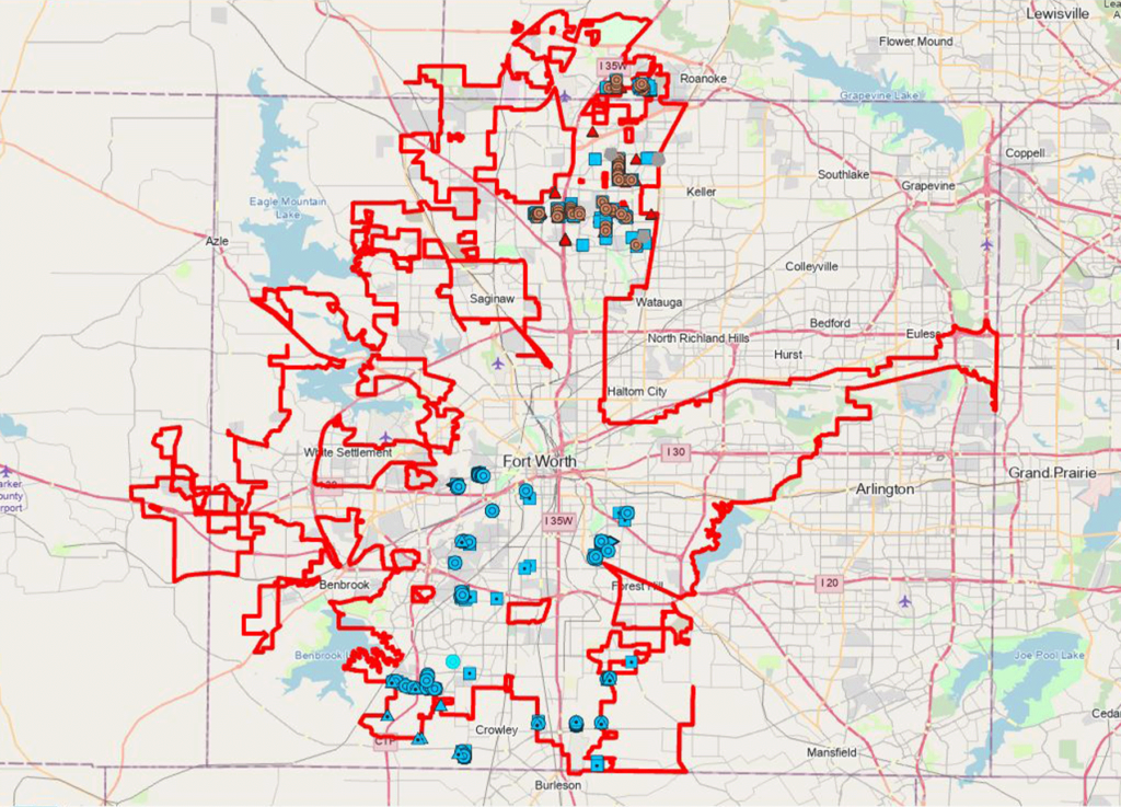
Coordinated Field Data Collection and post processing of data collected for City of Fort Worth Storm Water Mapping. Utilized ArcGIS Desktop software to compile assets and information gathered using Trimble GPS field equipment to collect high precision Horizontal and Vertical GPS location along with detailed attribute information and feature linked photo document gathered in the field. This data was processed in the office and contains all information required by City of Fort Worth Storm Water Mapping requirements. This data was collected for all existing Storm Water Infrastructure and integrated with the overall Fort Worth geodatabase. The mapping effort continues as an ongoing maintenance effort showing new construction and rebuilt Storm System features.
Coordinated Field Data Collection and post processing of data collected for City of Fort Worth Storm Water Mapping. Utilized ArcGIS Desktop software to compile assets and information gathered using Trimble GPS field equipment to collect high precision Horizontal and Vertical GPS location along with detailed attribute information and feature linked photo document gathered in the field. This data was processed in the office and contains all information required by City of Fort Worth Storm Water Mapping requirements. This data was collected for all existing Storm Water Infrastructure and integrated with the overall Fort Worth geodatabase. The mapping effort continues as an ongoing maintenance effort showing new construction and rebuilt Storm System features.
Coordinated Field Data Collection and post processing of data collected for City of Fort Worth Storm Water Mapping. Utilized ArcGIS Desktop software to compile assets and information gathered using Trimble GPS field equipment to collect high precision Horizontal and Vertical GPS location along with detailed attribute information and feature linked photo document gathered in the field. This data was processed in the office and contains all information required by City of Fort Worth Storm Water Mapping requirements. This data was collected for all existing Storm Water Infrastructure and integrated with the overall Fort Worth geodatabase. The mapping effort continues as an ongoing maintenance effort showing new construction and rebuilt Storm System features.
get in touch
We're Here to Help!
Our team is happy to answer your questions. Contact us and we’ll be in touch as soon as possible.