Tarrant Regional Water District
About the Project
CLIENT
TRWD and North Central Texas of Government
LOCATION
Ellis and Henderson Counties, Texas
PROJECT TYPE
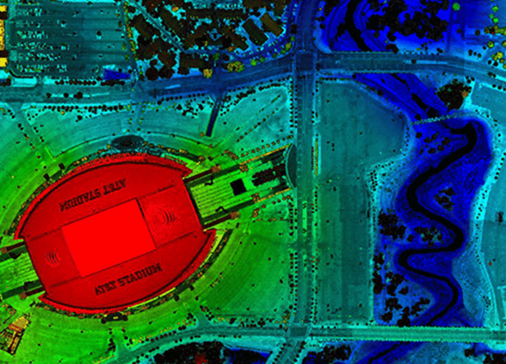
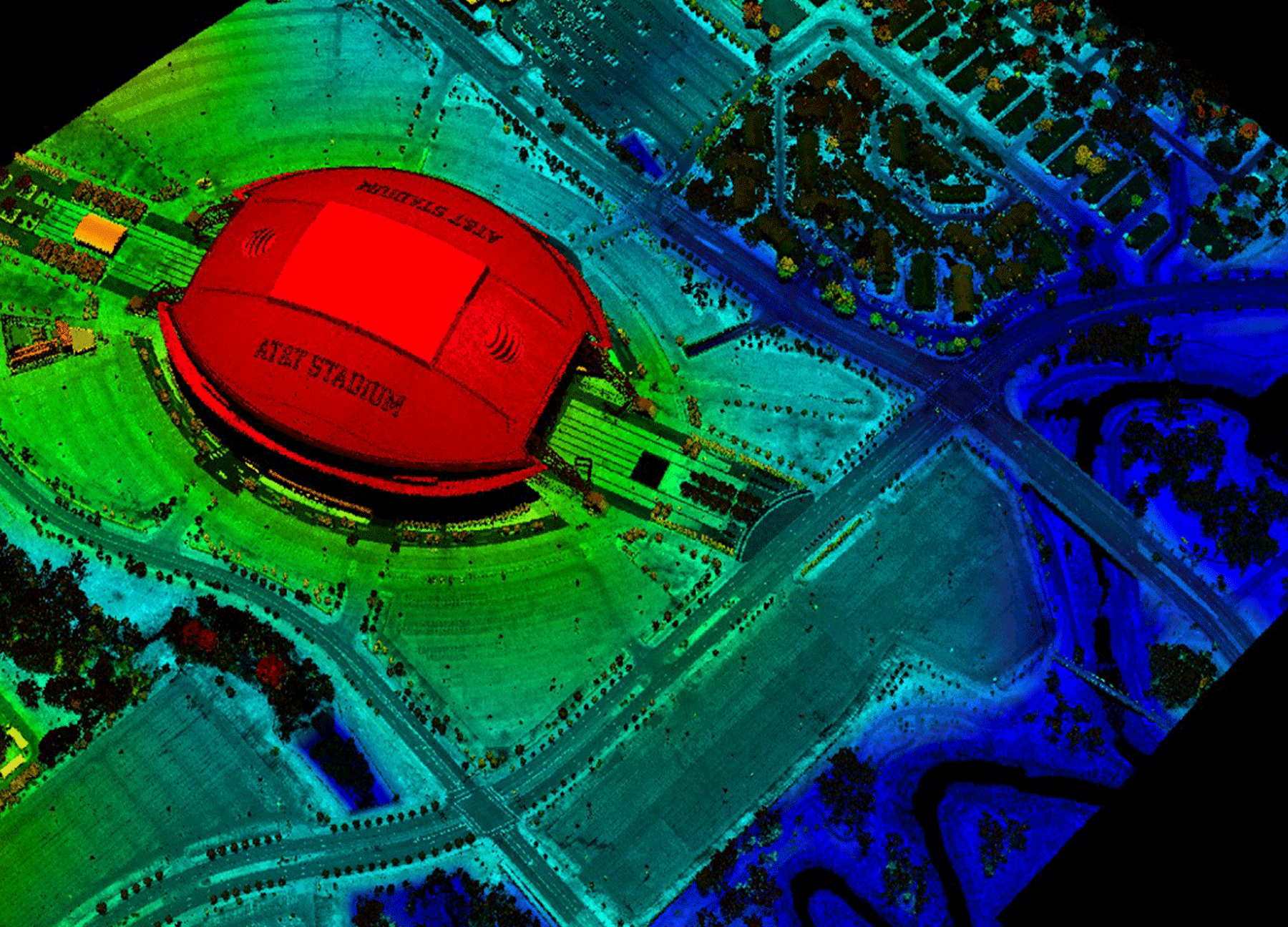
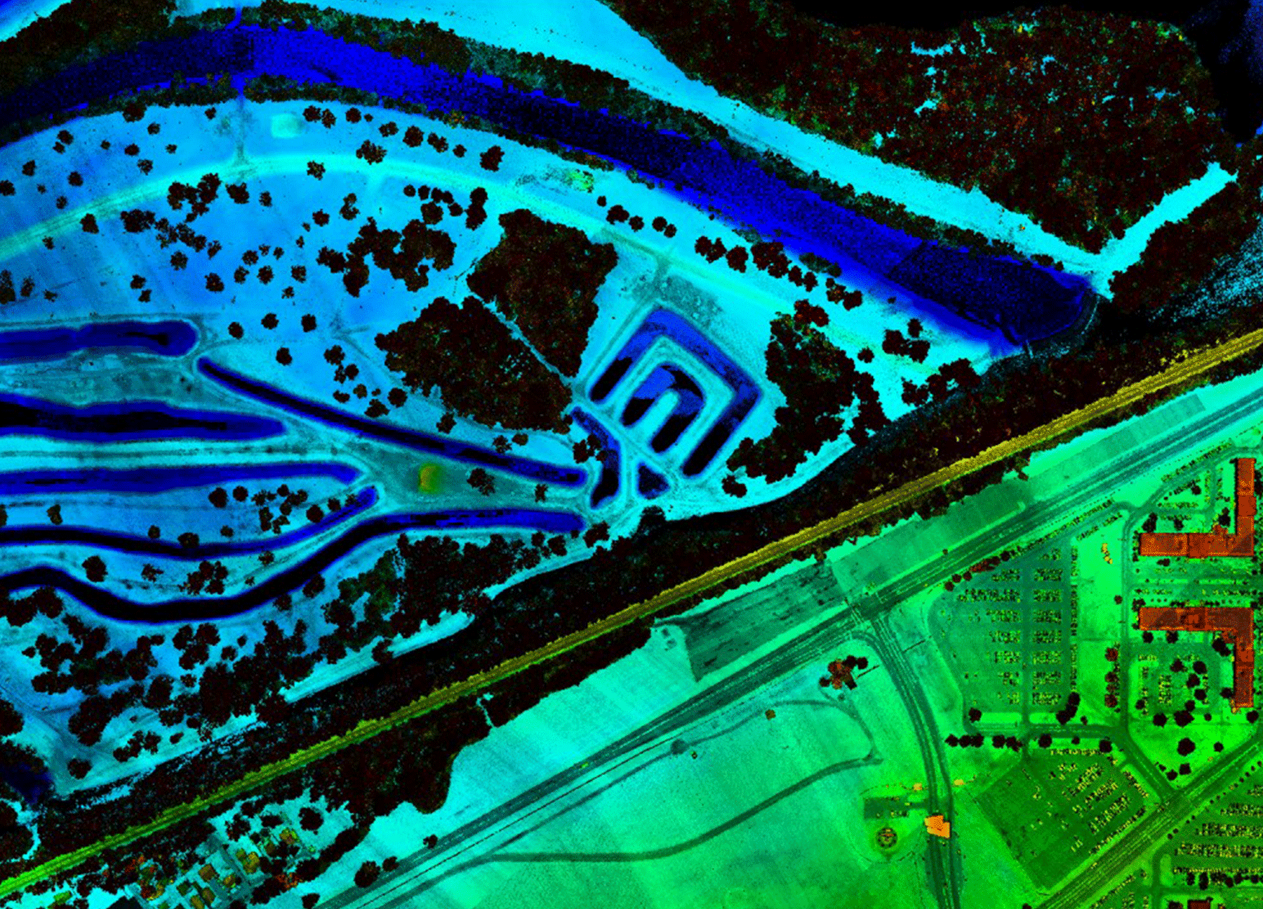
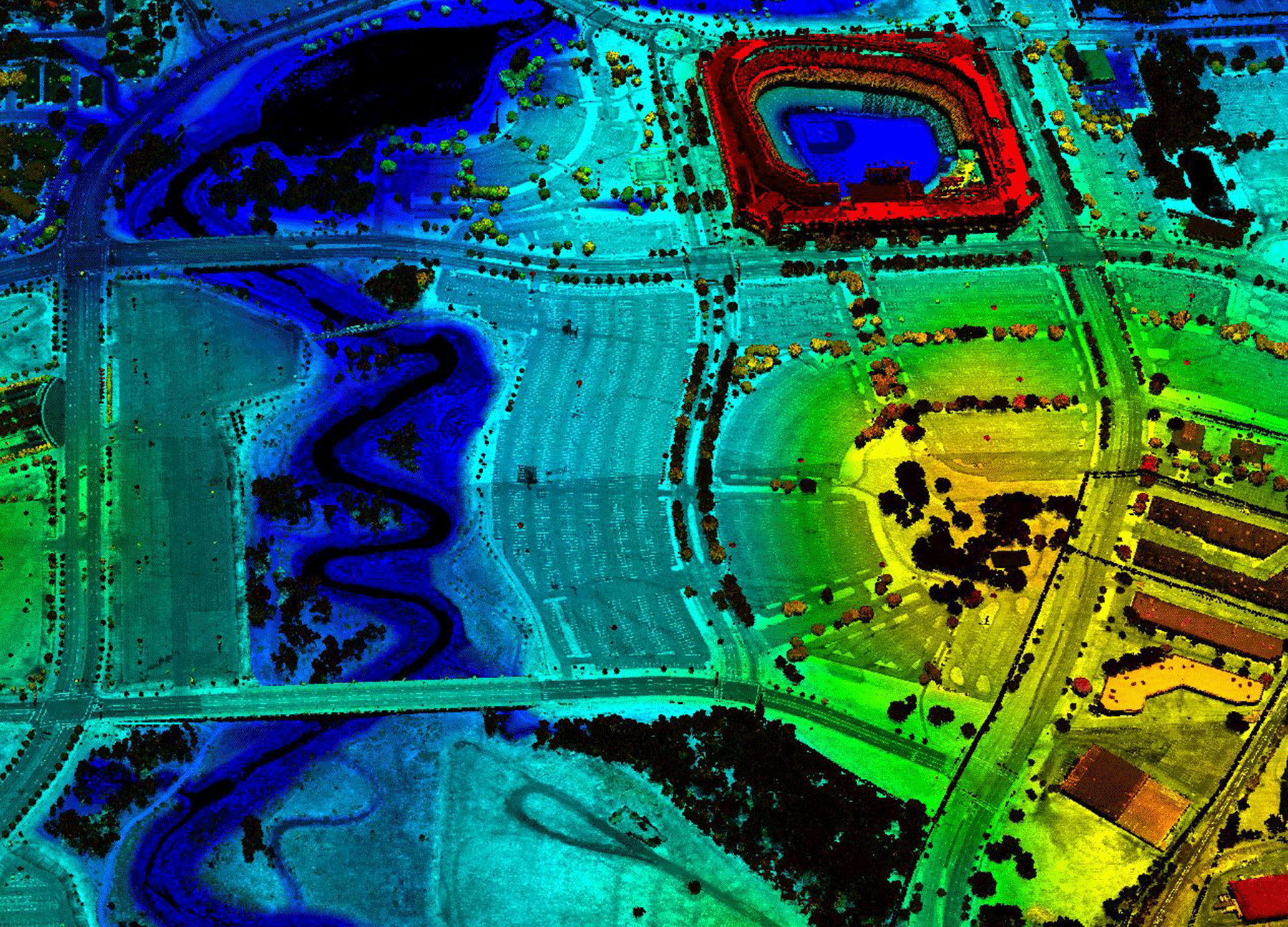
LiDAR, Photogrammetric Mapping, and Professional Land Survey
G&AI performed survey services for the 2017 NCTCOG orthoimagery and LiDAR project. The project required 116 ortho imagery PID points to support ASPRS Class I accuracy orthoimagery within the 13,866 square miles orthoimagery project area, 56 LiDAR control points, and 33 LiDAR checkpoints to support ASPRS Class I accuracy LiDAR data within the 1340 square mile LiDAR project area. Total points surveyed were 205 and all survey met the project accuracy specifications. The ground control accuracy satisfied a Local Network accuracy of 5-centimeters at the 95% confidence level. Additionally, in 2015 G&AI provided ground control for the NCTCOG 0.5m aerial LiDAR project for TRWD, totaling 618 square miles.
About the Project
Komatsu worked with the City of Grand Prairie to plan and design their first branch library in 2001. The City returned to Komatsu in 2016 when they wanted to renovate and enlarge the original 10,000 sq. ft. facility to 16,550 sq. ft. This project was phased in order for the library to remain occupied for as long as possible. Added square footage is dedicated to technology and new concepts in library design allowing for more program space. Construction was completed on time and on budget.
CHARACTERISTICS:
– Children’s and Adult’s Programming Areas
– 6 Staff Work Stations
– 2 Manager Offices
– 10 Computer Stations
– Self-Checkout Stations
LOCATION: Grand Prairie, TX
PROJECT TYPE: Renovation and Expansion
COMPLETED: February 2019
REFERENCE:
Amy Sprinkles, Library Director
(972) 237-8140
[email protected]
Our team is happy to answer your questions. Contact us and we’ll be in touch as soon as possible.