$10 Billion Expansion
About the Project
CLIENT
Motiva Oil Refinery
LOCATION
Port Arthur, Texas
PROJECT TYPE
Digital Color Orthophotography, Digital Topographic Mapping, Photogrammetric Mapping
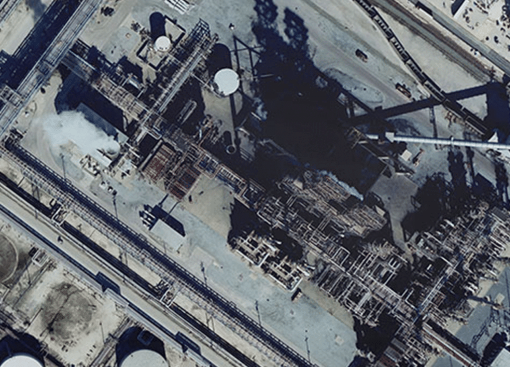
G&AI’s Aerial Survey and Mapping Division undertook the task of providing comprehensive design-grade digital mapping and orthophotography services for the expansive Motiva Oil Refinery in Port Arthur, Texas, covering approximately 2,000 acres. This project was integral to a $10 billion expansion that positioned the facility as the largest gasoline, diesel, and petroleum producer in the US, co-owned by Saudi Aramco and Royal Dutch Shell. Collaborating with engineering consultants Arceneaux & Gates under the umbrella of URS Corporation, G&AI acquired low-altitude color aerial imagery, conducted analytical aerial triangulation, generated precise digital topographic maps and high-resolution orthophotos, all conforming to the Class 1 accuracy standards established by the American Society for Photogrammetry and Remote Sensing (ASPRS). The project involved meticulous planimetric feature collection and adherence to stringent photogrammetric procedures, culminating in a successful delivery meeting rigorous accuracy criteria.
G&AI’s Aerial Survey and Mapping Division undertook the task of providing comprehensive design-grade digital mapping and orthophotography services for the expansive Motiva Oil Refinery in Port Arthur, Texas, covering approximately 2,000 acres. This project was integral to a $10 billion expansion that positioned the facility as the largest gasoline, diesel, and petroleum producer in the US, co-owned by Saudi Aramco and Royal Dutch Shell. Collaborating with engineering consultants Arceneaux & Gates under the umbrella of URS Corporation, G&AI acquired low-altitude color aerial imagery, conducted analytical aerial triangulation, generated precise digital topographic maps and high-resolution orthophotos, all conforming to the Class 1 accuracy standards established by the American Society for Photogrammetry and Remote Sensing (ASPRS). The project involved meticulous planimetric feature collection and adherence to stringent photogrammetric procedures, culminating in a successful delivery meeting rigorous accuracy criteria.
Our team is happy to answer your questions. Contact us and we’ll be in touch as soon as possible.