Bloomdale Road Improvements
About the Project
CLIENT
City of McKinney
LOCATION
McKinney, Texas
PROJECT TYPE
Design Survey, Easement Acquisition Survey, GPS and Geodetic Control Survey, Professional Land Surveying, Right of Way Mapping, Topographic Survey
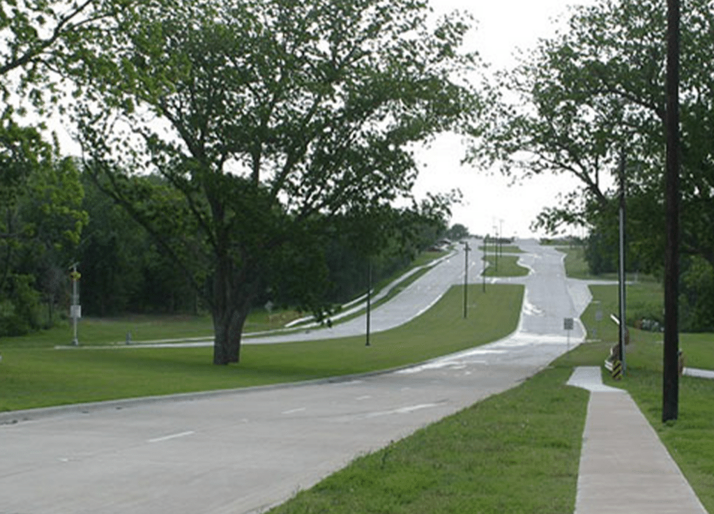
G&AI performed land surveying for the Bloomdale Road improvements project for the City of McKinney. The firm established horizontal and vertical control network for the project and provided topographic survey design data along approximately 2,500 feet of existing and proposed Bloomdale Road, along with 1,500 of topographic survey along Redbud Road. G&AI located property corners and established property lines. Project scope included preparing right-of-way acquisition documents and set property corners along proposed right-of-way. Prepared permanent easement documents for the project.
G&AI performed land surveying for the Bloomdale Road improvements project for the City of McKinney. The firm established horizontal and vertical control network for the project and provided topographic survey design data along approximately 2,500 feet of existing and proposed Bloomdale Road, along with 1,500 of topographic survey along Redbud Road. G&AI located property corners and established property lines. Project scope included preparing right-of-way acquisition documents and set property corners along proposed right-of-way. Prepared permanent easement documents for the project.
Our team is happy to answer your questions. Contact us and we’ll be in touch as soon as possible.