Government
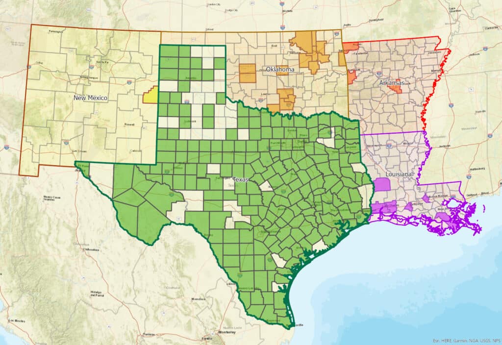
G&AI possesses a profound understanding of the unique dynamics within government markets. We have successfully provided survey services to federal, state, city, and county entities, gaining invaluable experience in meeting their specific needs. G&AI has conducted thousands of engineering design surveys, encompassing municipal projects, airports, street rehabilitation, proposed roadways, sanitary sewer rehabilitation, water rehabilitation, water and sewer transmission lines, gas pipelines, electrical transmission lines, and development projects. Furthermore, G&AI has executed surveys covering over 1,000,000 acres for boundary surveys, right-of-way acquisition, and platting services across 86 counties in Texas.
Tulsa Asset Inventory
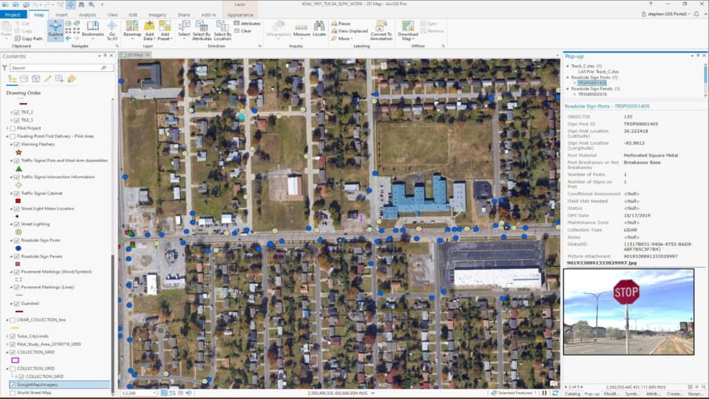
Tulsa Asset Inventory
Randol Mill Rd.
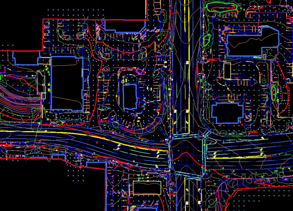
Intersection Improvements at S. Hulen Street at Oakmont Boulevard
Intersection Improvements at S. Hulen Street at Oakmont Boulevard
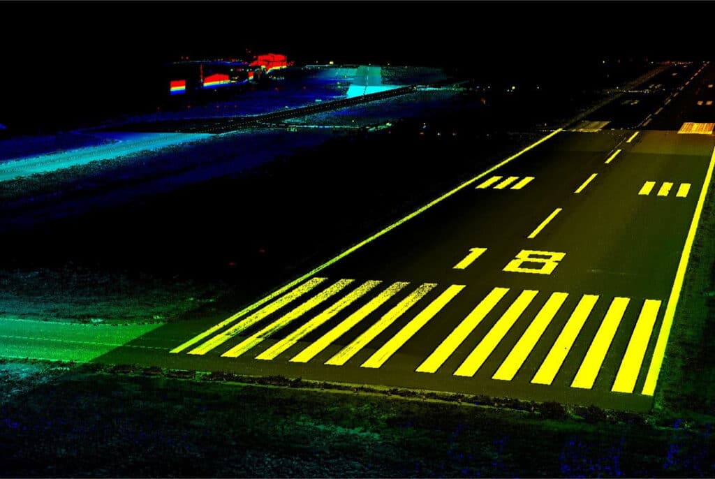
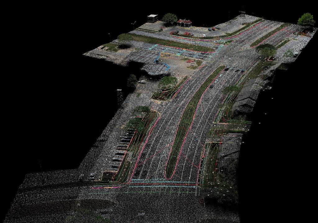
Denton Enterprise Airport Parallel Runway
14R 32K Taxiway Improvement
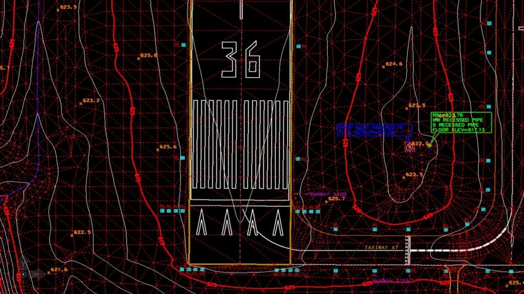
14R 32K Taxiway Improvement
get in touch
We're Here to Help!
Our team is happy to answer your questions. Contact us and we’ll be in touch as soon as possible.